Westfjords

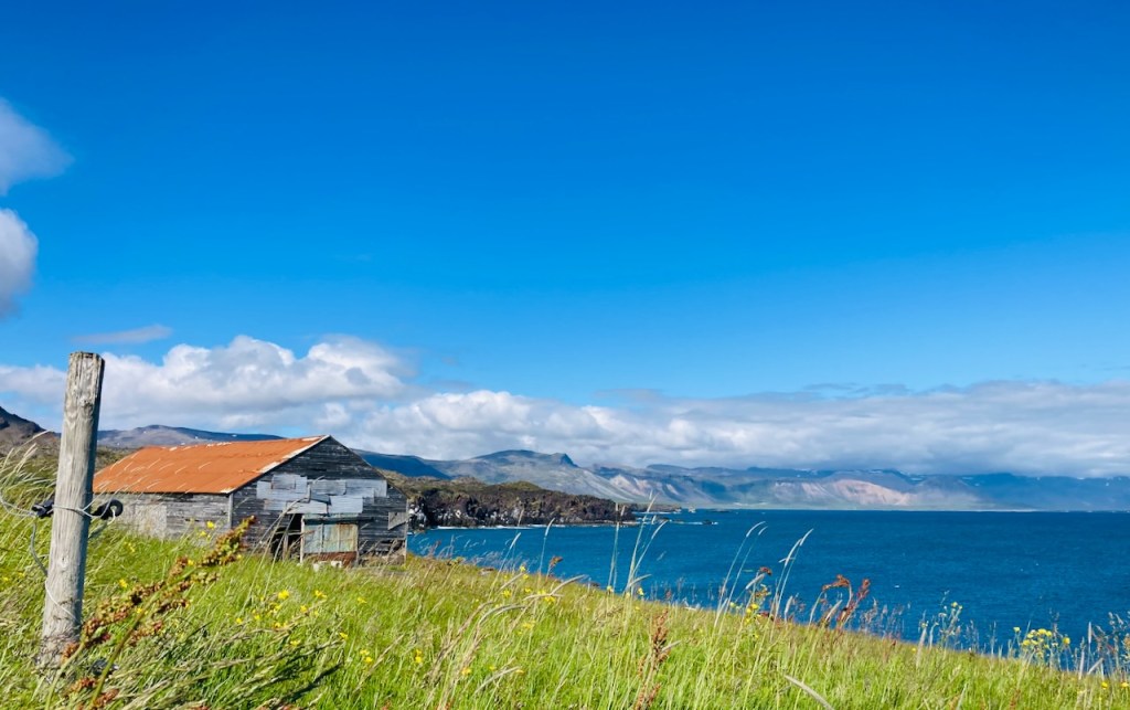
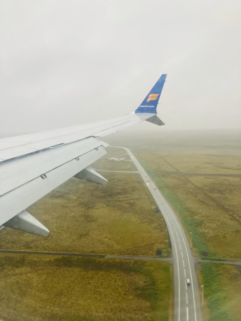
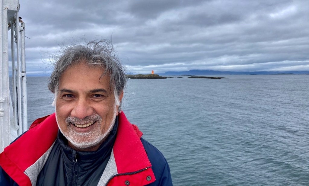
By now we have spent three days and driven around 800 km and seen bits of the Golden Circle and the Snæfellsnes peninsula. Today we take a two and a half hour ferry ride from Stykkishólmur to the Westfjords, firmly getting us out of the main tourist splash zone.

Our ferry is the Baldur, the most recent of a long line of proud Baldurs who have plied this route, their photos gracing the walls of one of the companionways leading up from the belly of the ship where we parked our cars to the top deck and the “floating restaurant”. The 68 m long vessel with a cruising speed of 14 knots was built in 1979 in Norway and extended by 12 m and outfitted with new motors for this current assignment. Things are chill in Iceland. We rolled into the car hold of the Baldur with no supervision at all. A few minutes later a 15 year old kid showed up and directed us to our parking spot. Then we were left to our devices to find our way out of the hold and to wander around the ferry.

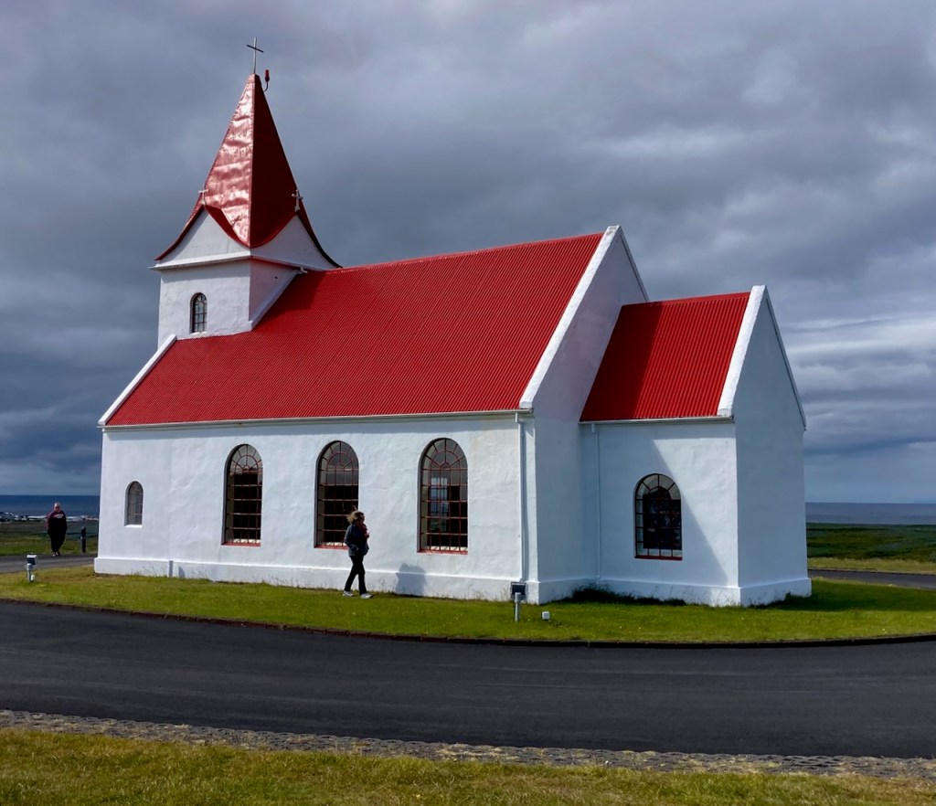
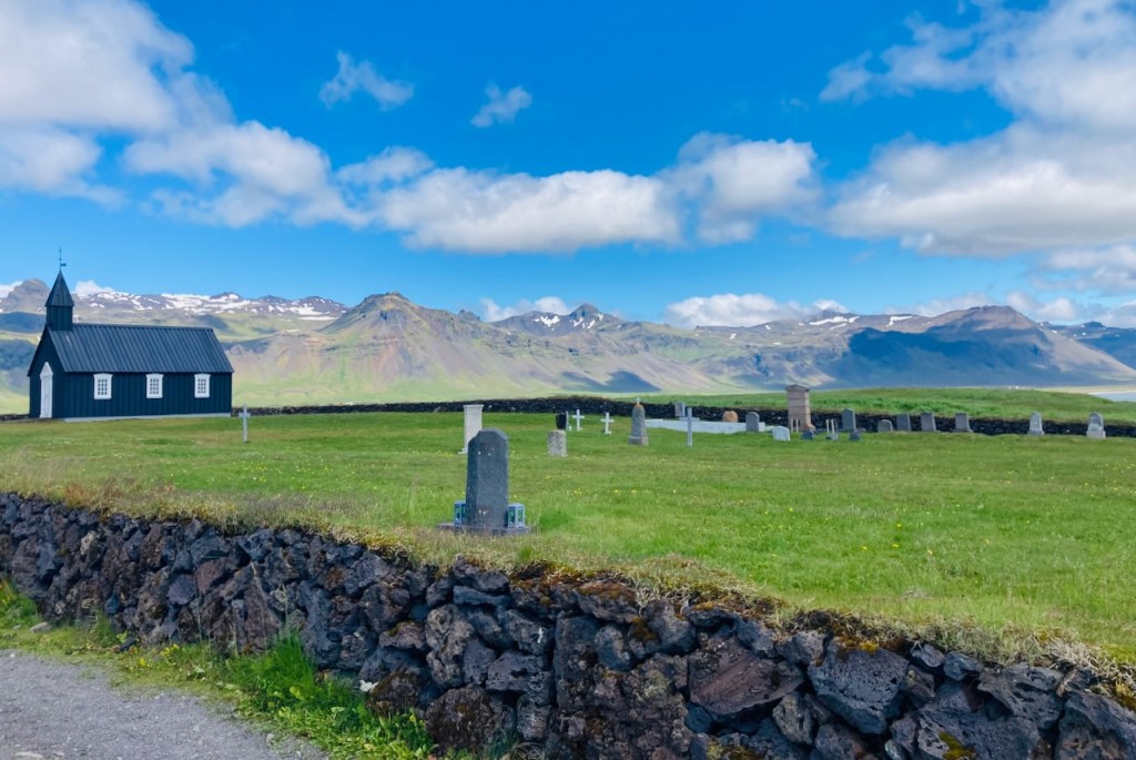
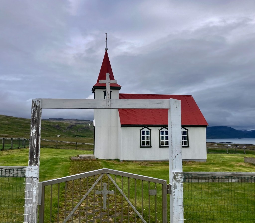
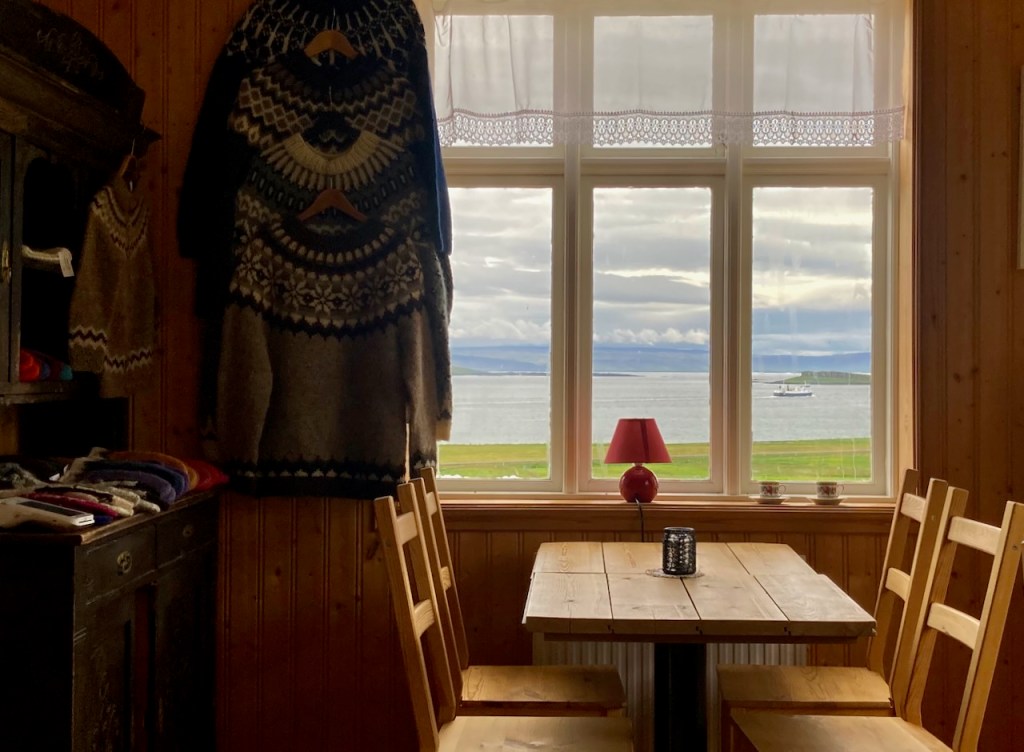
The ship stopped briefly at the island of Flatey (where I took a photo of the red toy-looking tractor on the quay) and a bit later we found ourselves driving into the Westfjords. There wasn’t a town of village at the ferry terminus. We drove up to a nearby church and found a cafe next door. We had a quick snack (lamb soup for me, hot chocolate for the kids), took a photo of the departing ferry through the windows of the cafe, and headed out into the Westfjords.

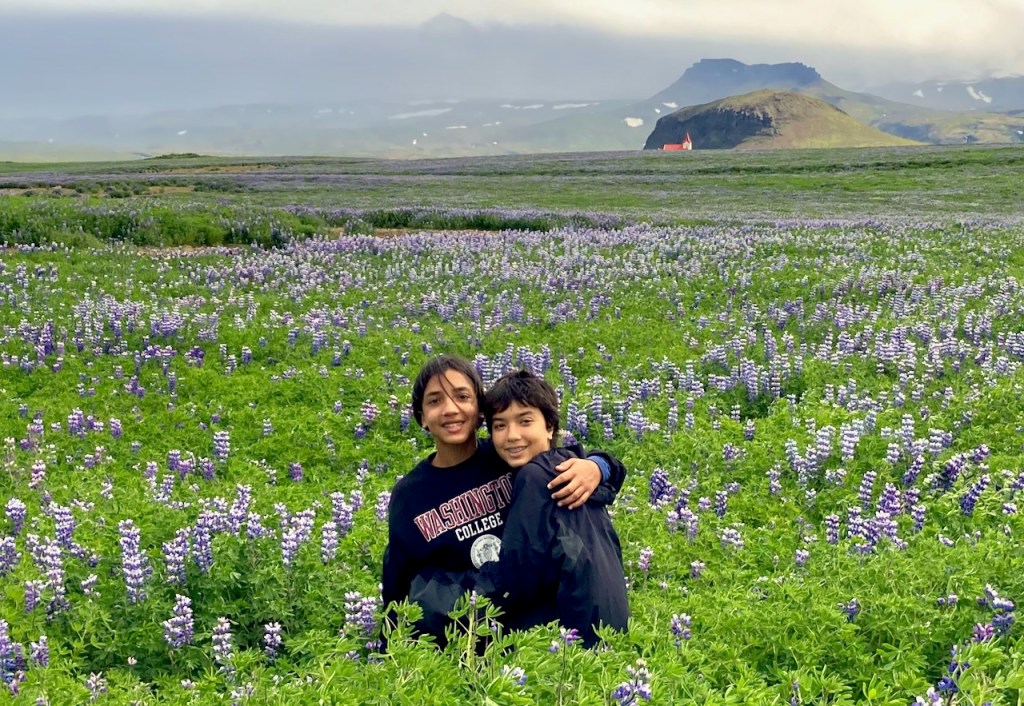
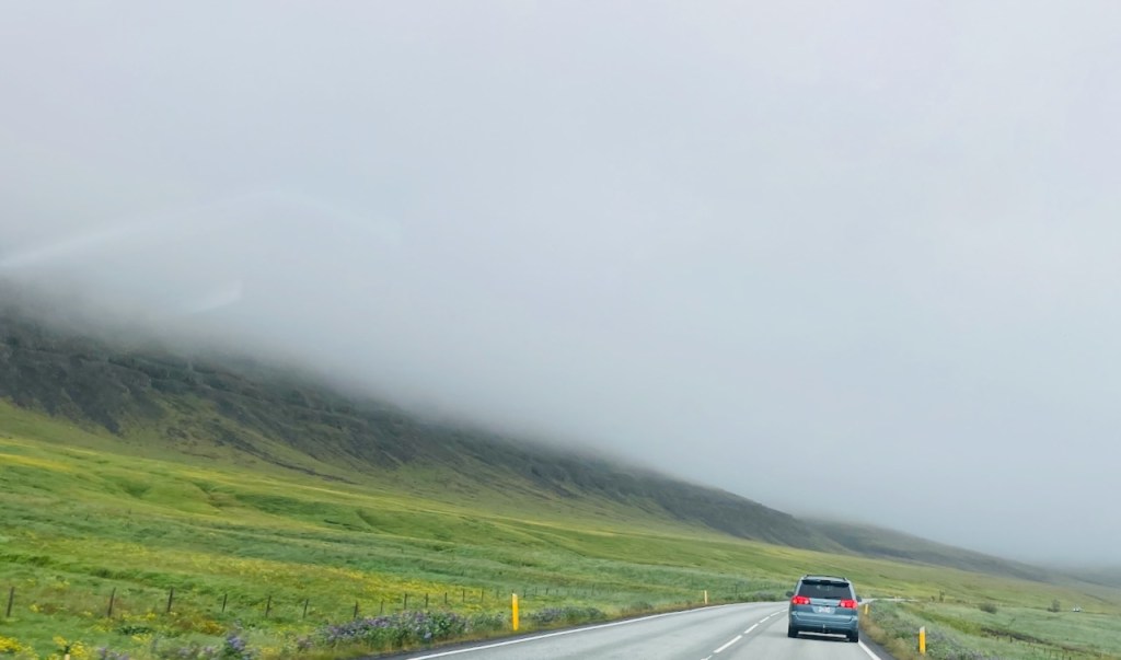
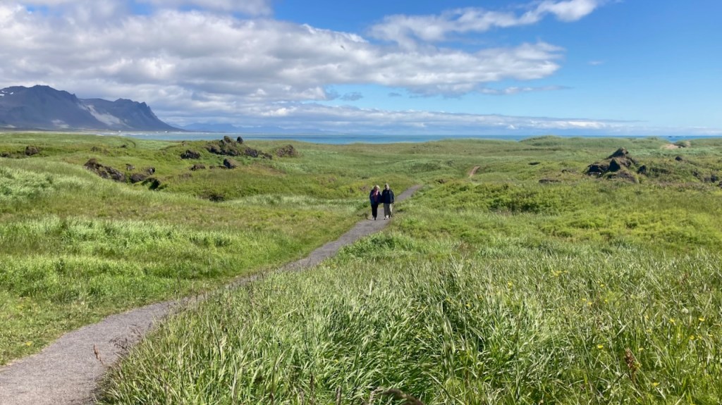
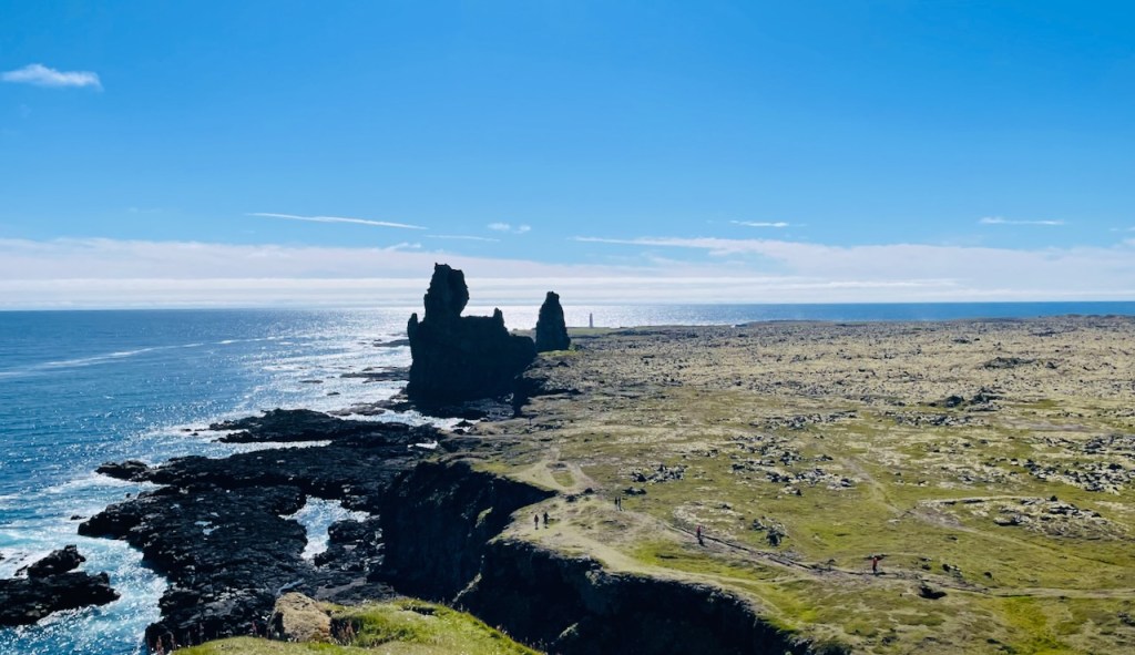
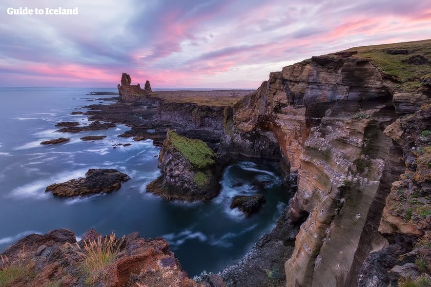
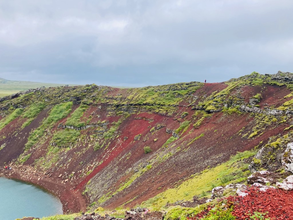
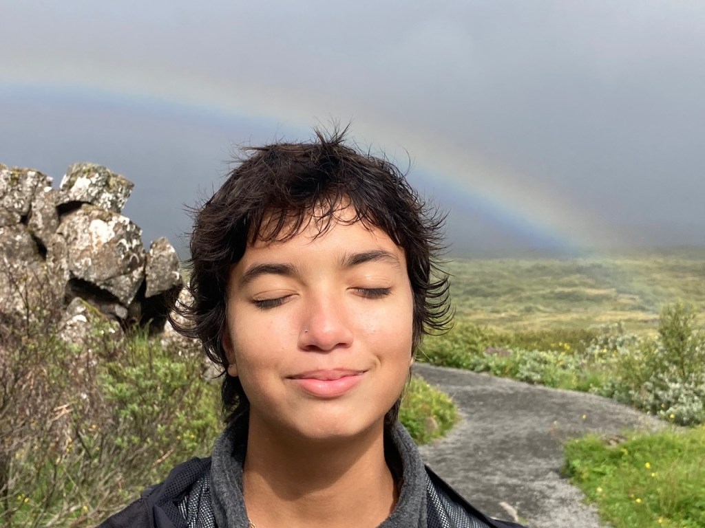
The Westfjords are remote and empty even by Icelandic standards. The area is vast (about a half the size of Switzerland), and the deeply indented coast is about a third of the total length of Iceland’s coastline. But only about 7000 people live here, half of whom live in the town of Ísafjörður. So the rest of the Westfjords has about as many people as Jester, the largest dorm at UT. Geologically it is the oldest part of Iceland and has no active volcanoes and less seismic activity than the rest of Iceland. During the Quaternary ice age about 2.5 million years ago, huge glaciers shaved off the tops of the volcanos leaving behind flat topped mountains with steep sides that reach out into the ocean. The gaps between the fingers are the fjords – narrow inlets of the Arctic Ocean. Waterfalls and creeks collect ice and snow melt and cascade down the often desolate sheer cliffs. The few people that do live here cling to the coast when it is flat enough to build homes and sheep farms. The driving is dramatic, sometimes even more so because roads are often unpaved.

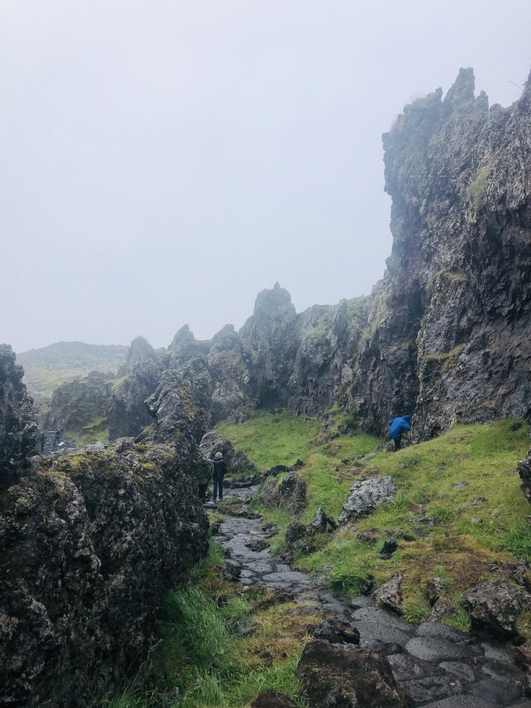
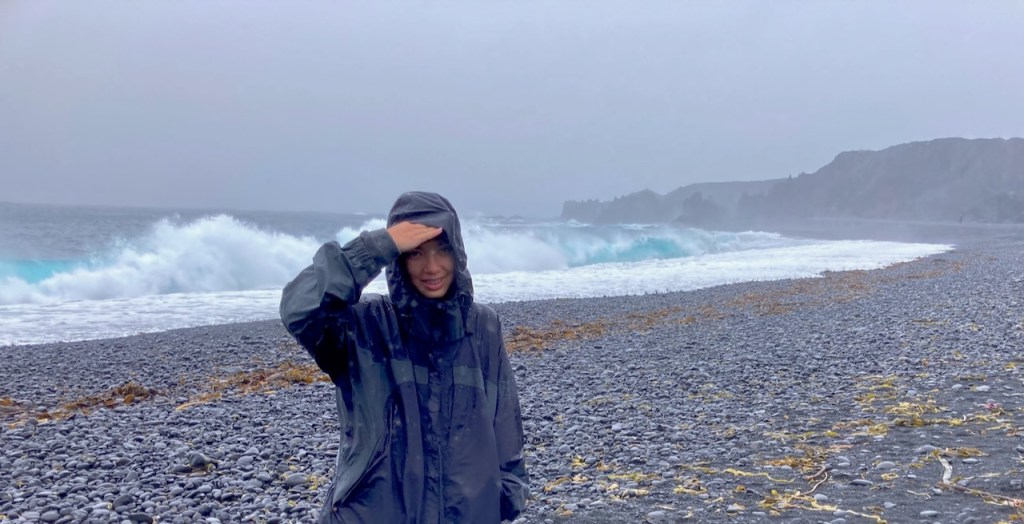
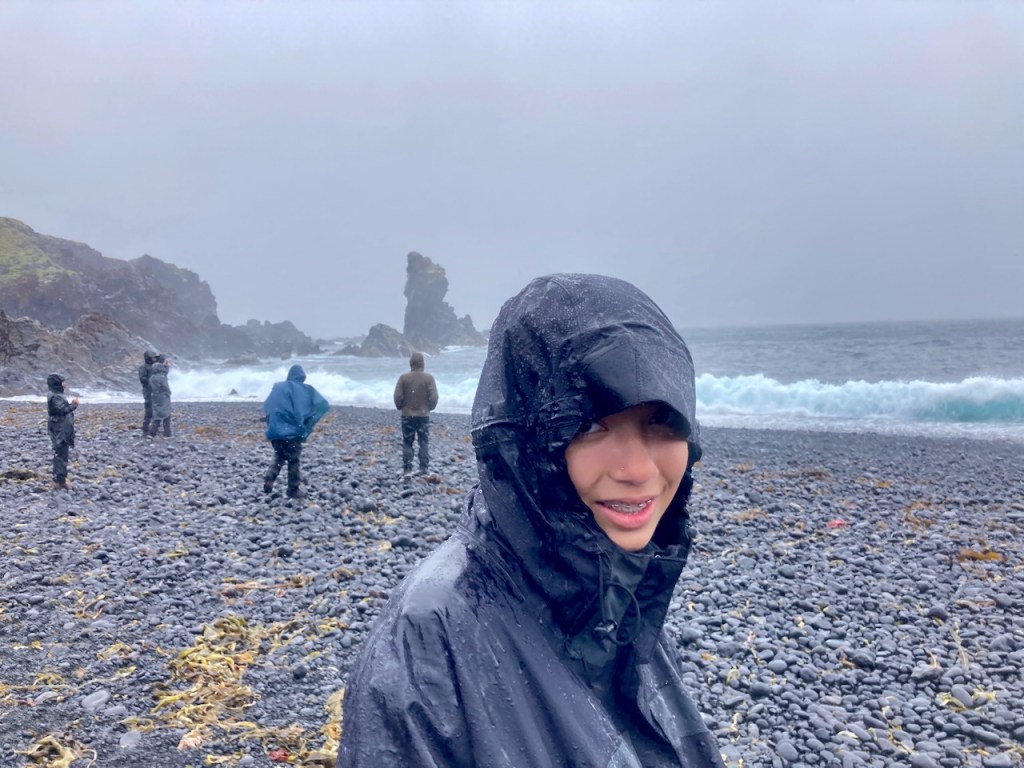
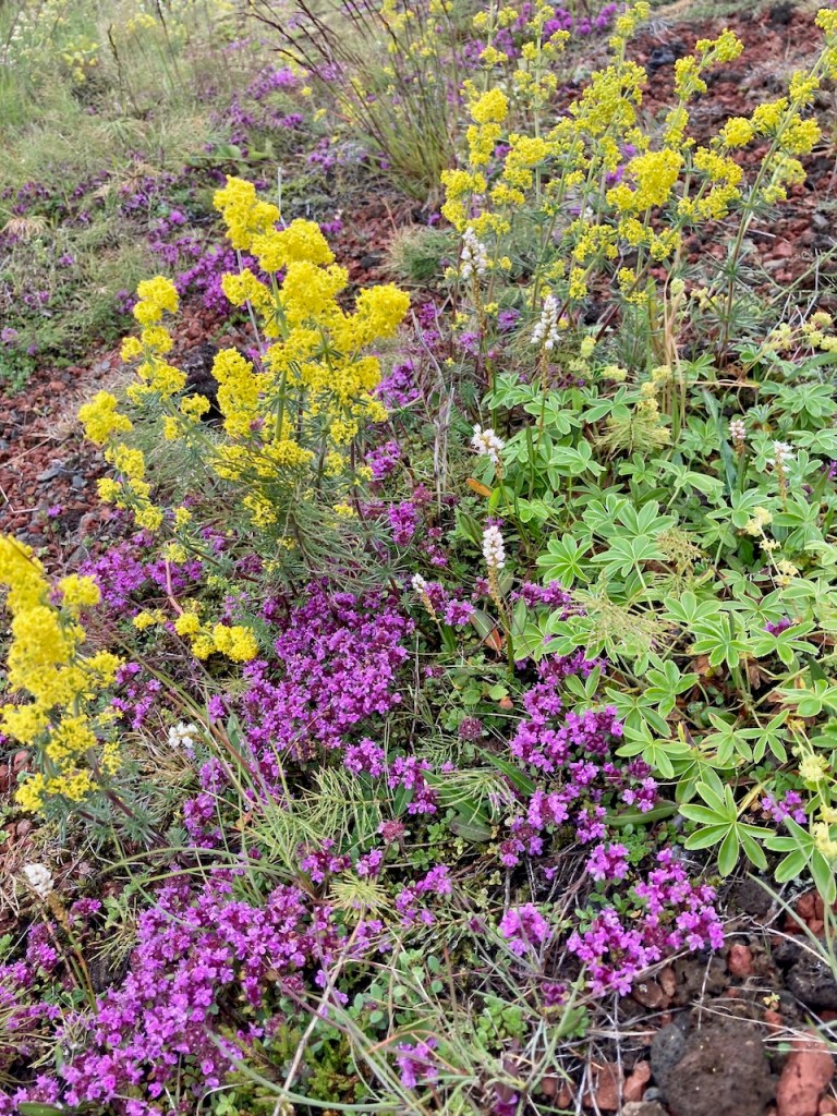
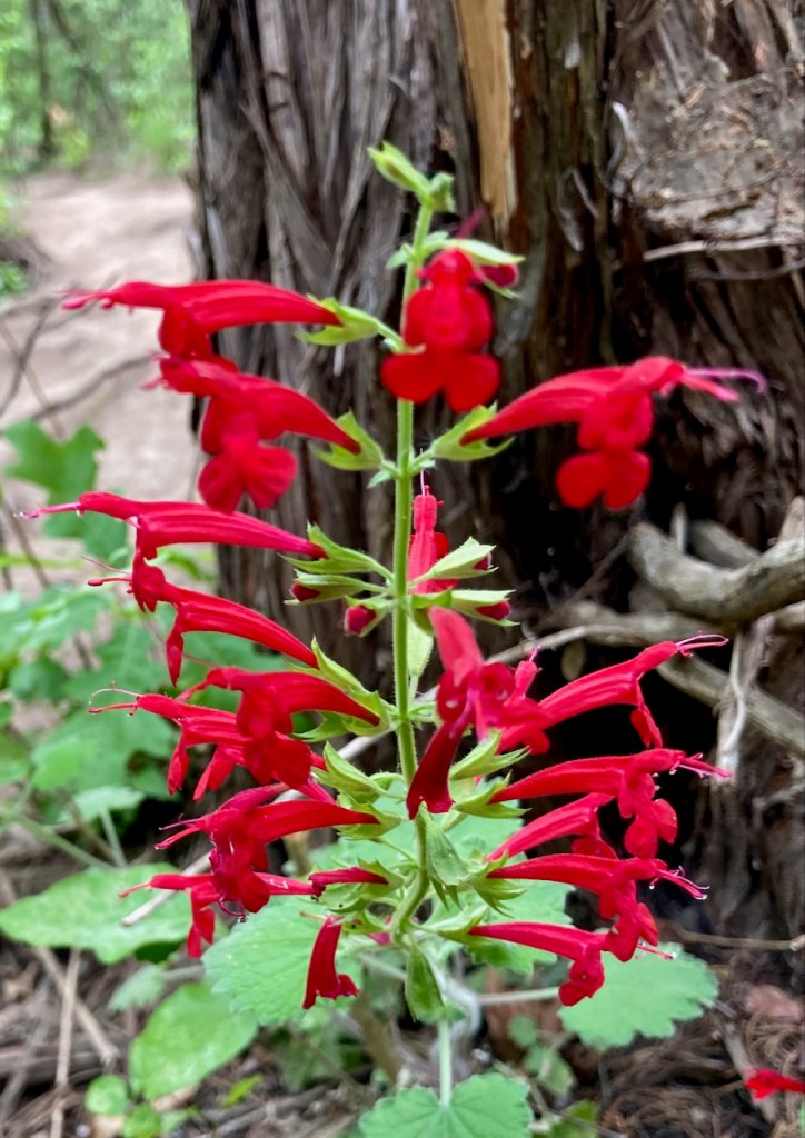
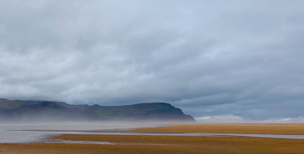
Our first stop was Rauðisandur – literally red sand. This is a beach reached by a dirt road that drops a few hundred meters in the last three switchbacks. There is a beautiful church and a cafe. We predictably stopped at the Franska cafe for waffles and more hot chocolate and then set out on foot to explore the area. The pictures say it all!

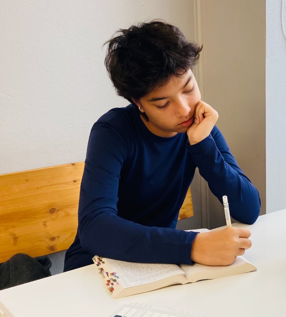
We then drove back over the heath and around the next fjord to the town of Patreksfjörður where we met Alu and Michelle for dinner at Albina – a small grocery store, ice cream shop, and pizza and burger joint. Here is Vivian reading/annotating her book because she didn’t need diner (too many summer sausages in the back seat). We saw an Italian couple we had seen with bicycles in our ferry that morning. They were going to spend the next 10 days riding and camping around the Westfjords.

After dinner we drove for 45 minutes on dirt roads to a point almost exactly across from Patreksfjörður on the other side of the fjord. We drove past the hulking rusty remains of an old whaler and then the wreckage of an US Navy DC-3 (you get the theme) to the end of a dirt road where we found the rather strange Hotel Latrabjarg. Unfortunately we were too wiped to drive to the famous Latrabjarg cliffs at the very western point of Iceland where puffins and other birds nest. Jo had to settle for a calf in the yard next to the hotel that was very curious about her. She initially shied away, but eventually came over and licked Jo’s hand like a big cow puppy.

North Snæfellsnes

Day 3 starts with a light drizzle. It’s been between 8 and 13 degrees Celsius (approximately 45 to 55 F). London is steeling for 40 C tomorrow. The rest of the world seems to be roasting. We are not complaining up here. We start this morning’s drive towards the north coast of the Snæfellsnes peninsula by going over Fróðárheiði, a heath as it is known in Iceland and what I’d call a low pass. The highest point of the pass is 361 m which isn’t much at all, but we start and end at sea level on either side. The road at the top is almost invisible with low clouds but we see bits of lakes, streams, and silvery waterfalls everywhere. As we descend to the other side, through the rain there is a golf course and yes, there are people playing out there, naturally!

We soon reach the picturesque little village of Hellissandur, the westernmost habitation in the Snæfellsnes peninsula. Our first stop is Gilbakki for cups of hot chocolate and coffee. While there is a cold drizzle coming down, they know something we don’t. There is a tent set up in the lawn outside with a tub full of iced beer and sodas. Hellissandur bills itself as the street art capital of Iceland and they are getting ready for some sort of a street festival with jumpy castles and all. We came by later and looked at the murals.

Fortified with our hot beverages we drive a few miles away for a short loop hike around Raudhólt, an old crater. We are under Snæfellsjökull but all we can see are the snowy shoulders. The peak is shrouded in clouds. Evan and I head one way around the rim of the rounded moss covered creater, the others go in the opposite direction. We meet Vivian on top and look around from our perch. Not far from us we spot Saxhóll – the volcano crater that we visited the last time we were in Iceland eight years ago and we decide to go there next. The weather has improved significantly. The rain is gone and there is occasional sunshine. After the loop around Raudhólt, the kids stick their faces in a stream and drink clear cold fresh water. What a treat!

Our next stop is just a few miles along the coastal road – the black sand beach of Djúpalónssandur. But the weather couldn’t be more different. There is a strong breeze and it is blowing the rain sideways. Evan and Jo opt to stay in the car. I follow Vivian along a winding stone path down to the beach past interesting lava rock formations. We are pelted by rain and by the time we are at the beach our pants are fully drenched in the back and the fronts are perfectly dry. The surf is pounding and the beach is littered with old rusted remains of the British trawler that wrecked here 75 years ago killing 15 out of 19 crew. In the past, people from nearby villages would set up temporary huts in summer and fish here. There are big round rocks on the beach that you had to show you could carry before you went out on a fishing boat. One sign says that the heavy rock is 154 kg! If I had to go out on a boat in the weather today I’d want some strong oarsmen. We get whipped by rain and wind, take a look around, and start walking back, against the rain and the wind now. In moments the front of our pants are drenched. By the time we finish helping an old German tourist back to her bus and get back to the car Vivian and I are soaked to the skin waist down. Would have been a good day for those rain pants I carried all the way from Austin…

A few minutes later we are at the parking lot below Saxhóll. Used to be a gravel area but now there are a dozen parked cars in the nicely paved lot and even a tourbus. Alu, the kids, and I start climbing the steps to the top. It’s nice and sunny. I leave my wet rain jacket to dry in the car and set out in my t-shirt. My pants are dry by the time we climb to the top. This is where Evan peed eight years ago. I ask if he’d like to go, and he declines. It may have something to do with the other people milling around up here. Or because he isn’t four. Or he really doesn’t need to go.

From Saxhóll we double back past Hellissandur to Ingjaldshóll to a beautiful church at the end of a gravel road. The informational sign at the church says that there has been a church here since Christianity came to Iceland around the 10th century. The new building is over a hundred years old and is one of the first concrete churches in the world. A southern gentleman stayed a winter in Iceland in 1477 and visited this church. It was supposedly Christopher Columbus who was in Iceland to chat with the locals. They had been wandering off to Greenland and North America since Leif the Lucky arrived in Newfoundland in 990 CE, almost five hundred years before Columbus. There is a modern mural of the said southern gentleman, but the church was closed and we couldn’t see it. We drove back halfway down the gravel road and turned around for photos. Iceland is covered in a flowering blue lupine, Lupinus nootkatensis, not to be confused with Lupinus texensis, the Texas bluebonnet. Evan believes the Icelandic bluebonnets are superior and more plentiful. He thinks Texas should give up. “They should make dirt their state flower”. He has a point. There is a lot of L. nootkatensis around Iceland.

We wallowed in the bluebonnets for a long time. Alu and Michelle watched with amusement. When we are finally done we started our return trip home. Along the way we saw glorious rainbows and a cloudy Kirkjufell, or “church mountain”, perhaps the most Instagrammed mound in all of Iceland (some say it may have even made an appearance in Game of Thrones). The rain had started again and we took a quick photo from the parking lot without getting out of the car.

We drove to the northern town of Stykkishólmur for dinner. Alu and I crossed the very picturesque harbor and walked up to the top of Súgandisey Island to see the red milk-can lighthouse. Last time around I took one of my favorite photos in front of the same lighthouse – Jo holding Vivian upside-down with little Evan watching.

Tomorrow we return to Stykkishólmur in the morning to catch a ferry!

Snæfellsnes

I love the name. Snæfellsnes is among the simpler names in Icelandic geography. Last time eight years ago, Jo and I nicknamed this area “Snefellopholous” for unknown reasons. The peninsula is a 90 km long protrusion of volcanic land (of course) off the central coast of western Iceland and is often described as the best of Iceland in miniature. The western end of the peninsula is home to the  famous Snæfellsjökull volcano and glacier. It last erupted 1750 years ago, though an official sounding Icelandic volcano website say that there may have been “fresh lava flows more recently”. While Snæfellsjökull is well known in Iceland, both geographically and historically, I became aware of its existence when I read Jules Verne’s book which was required reading when I was about Evan’s age. The characters start their journey to the center of the earth by rappelling down its crater. Unfortunately Jules Verne hadn’t visited Iceland and didn’t know that the top of the volcano is a jökull – a glacier covered in two or three hundred meters of solid ice. Or perhaps the very smart Verne accounted for climate change, but just a bit too soon. It is estimated that this mighty glacier will cease to exist before Vivian’s generation does.

Today Jo has planned an easy day, in and back out along the southern coast of Snæfellsnes as far as we want to go. We’ll be here for two days.

After a nice breakfast at the B59 hotel in Borgarnes, I strolled down to the local Netto grocery store across the street and discover dry sausage snacks to replenish the several pounds of the finger sized Costco salami that the kids consumed yesterday. Then we refilled gas, marked in Iceland at the pump as “bensin”. We paid over $11/gallon but we are paying per liter in ISK. Unless you do some quick math in your head, you don’t know enough to cringe. As we are about to leave Jo and I proceeded to have a volcanic sized disagreement about the location of the local farmer’s market.

Jo wants to drop in on the local farmers market. It is a women’s group that makes and sells high quality local handmade sheep wool products and jams and fresh foods. The description sounds inviting and I love a good farmer’s market. I’m looking for tents in a parking lot. The directions and pictures point to the building that houses the Netto grocery store. Perhaps it used to be there and has moved or closed or is seasonal. So Alu and I drive our cars around a quarter mile patch fruitlessly while Jo and Michelle exchange directions and text messages and then I make an executive decision to skip it and move on. Just as I am leaving the parking lot I see a store out of the corner of my eye. It’s in a strip mall in the next building past the Netto and says “FARMER’S MARKET”. But by then Jo is pissed and I’m defensive and I drive on. For posterity, here’s the location on google maps and a picture of the store from the parking lot (thank you, internet). My dearest, if we return to Borgarnes we will stop here. I’m sorry.

We are in Snæfellsnes after driving in icy silence for half an hour. Here’s what it looks like – a two lane road without shoulders snaking its way over narrow coastal flats covered in the greenest imaginable grass and moss. Mountains rise up on the other side, often shrouded in clouds that seem to be gently pouring down. When the clouds lift you catch glimpses of impossibly high snowy mountain tops or perhaps they are just more clouds. After the golden circle, this part of Iceland is the most touristy but the traffic is light and you can go for a while without seeing another car. We encounter few sheep in groups of three, the mother ewe with an enormously engorged udder and two absolutely cute kids. The sheep loiter and run off the road with the cutest butt-up-in-the-air gallop as cars approach. The edge of the roadway is marked by ubiquitous yellow stakes every 50 meters or so. This isn’t a country of guard rails and you often round a bend at the edge of a cliff looking down hundreds of feet to waves crashing on lava rocks, imagining your dreadful demise in this paradise of stunning views, and then a short yellow plastic stake pulls you back to safety. We stop to walk to a rocky beach to see seals. There is a QR code attached to a fence post and a request to pay for parking. The stiff breeze from yesterday has died down and it is shaping up to be a glorious day. We chill and walk around on the beach, watch the seal pups, take photos, relax. Thanks, Alu, for many of these photos.

Our next stop is a few miles westward to the famous “black church” of Búðir. An informational sign announces that “…a quote on a door ring says that this church was built in 1848 without the support of the spiritual fathers“. Initially built in 1703, the parish was abolished in 1816, but a local wealthy woman eventually got royal permission to rebuild the original rotting building in 1848. The current building was reconstructed and consecrated in 1987. The bell is still the original and was cast in 1672. The church and the attached cemetery are serene. We walk to the beach over rolling fields of grass and outcroppings of lava rock. A few minutes away is a nice old hotel where we stop for hot chocolate and the best fish soup I’ve tasted. I ask for the recipe. I’m told they simmer the broth for 48 hours, smoke the fish, and at the table the waiter pours the piping hot soup into a bowl with Icelandic buttermilk froth, butter, and fresh local herbs at the bottom.

A handful of miles farther down the coast we stop to admire the black lava cliffs and formations at Arnarstapi, Hellnar, and Lóndrangar. Vivian and Evan take off down a steep slope towards the towering lava columns at Lóndrangar. Jo and I have noticed something different here. Back in Austin, Vivian and Evan inhabit the same house. They lead separate lives, go to different schools, have non-overlapping groups of friends for the most part, and do different things with their free time. When they do interact, it is mostly though jokes and friendly barbs. Here in Iceland, they link arms and run off to explore together, laughing and chasing and jousting with each other.

[from https://guidetoiceland.is/travel-iceland/drive/snaefellsnes%5D

Above are two photos of the same spot. Alu took the one top on his iPhone. You can see a path towards the bottom right. Somewhere along that path is me. A bit further up are Vivian and Evan. We are in a flattish lava field covered in moss, heather and grass. In front of us are the towering columns of ancient lava tubes. And in the distance, just before the sea is the needle-like Malarrif lighthouse marking the southwestern edge of Snæfellsnes. Vivian, Evan and I walk to the lighthouse, and Michelle and Alu and Jo drive there to meet us. Along the way we find a beautiful black bounder beach and a short zip line that everyone rides twice. Vivian and Evan alternately race and pummel each other into the velvety moss while laughing over some joke that they share. The next photo is a lovely picture that you will see on a tour website or someone’s curated insta story. The lighting in perfect. The sky is amazing. The photographer has selected and framed the scenery beautifully. Here’s the funny thing – it looks better that even this photo when you are here on an ordinary day.

We stop at the Langaholt guest house where Alu, Michell and I enjoy a nice cold beer (from the car – no cooler or ice required) and sweeping views of the coast. We sit down for a great dinner (thanks, Alu), and drive to our lovely modern cabin in the Miðhraun (“middle of lava” in English) Lava Resort (it’s a bit like chai tea for those who know :- ). End of Day Two. I’m loving traveling. I’m loving Iceland.

Island

You say Iceland, and I say Island…let’s call the whole thing off.

This image has an empty alt attribute; its file name is img_7212.jpeg

But we didn’t, and on cold drizzly summer night we landed at Keflavik airport in Iceland. We bought duty free alcohol and chocolates and went to our hotel near the airport. Keflavik was used as an air base and then a US naval air base from the second world war up to a decade ago and we stayed in a hotel that has been converted from base housing. When we stepped out of the cab, it was very very windy. A few minutes later Vivian, Evan and I stepped out of our hotel for a short walk and Evan was almost “blown away” by Iceland : – ). It was also not the slightest bit dark at 11pm. The only place open was a Domino’s Pizza so that was what’s for dinner. Then we pulled the blackout curtains close and turned in.

Morning came about four hours early for our bodies due to the change in time zones. That night and every night since, I’ve spent countless hours going down all kinds of rabbit holes on the internet reading about Iceland and things Icelandic. The thing is, there will be unintentional volcanic explosions of random Icelandic factoids in this blog, scattered among stories of our trip.

We picked up our rental car and fortified ourselves with good coffee and baked goods at the Kökulist bakari where a fat kitty cat found Evan. And then we caravanned for about 30 minutes to the Costco outside Reykjavik to stock up on car snacks for the next two weeks. And finally we are ready to sally forth and see Iceland!

This image has an empty alt attribute; its file name is img_7216.jpeg

Jo had set up our day. And our hotels. And our itinerary. And the entire trip. Today we do the famous golden circle and end up in the town of Borgarnes. It’s about a four and half hour drive with four stops and three hundred and twenty five kilometers of amazing scenery. Our first stop is an off-the-beaten-path location called the Kerid crater. The crater is a visually striking contrast of three colors – the deep blue green of the lake, the brilliant red streaks of the crater walls, and the vivid green of the vegetation. It is still very windy but the light showers have stopped. Evan and Vivian go down the path to the crater lake and then we walk around the crater rim. Jo and Vivian are the rightmost human shapes along the rim in this photo.

This image has an empty alt attribute; its file name is img_7227.jpeg
This image has an empty alt attribute; its file name is img_7218.jpeg
This image has an empty alt attribute; its file name is img_7229.jpeg

Our next stop is Gullfoss – one of Iceland’s many famous waterfalls. In the photograph below, you may be able to see a ledge and a few tiny figures above Vivian’s head where there is a viewing platform. Vivian and I walked out there to get a closer look and we were drenched by the spray.

This image has an empty alt attribute; its file name is img_7238.jpeg
This image has an empty alt attribute; its file name is img_7241.jpeg

Then we went to Geysir – the grandfather of all geysers. But grandpa has been dormant for the last few years. No worries – Strokkur next door erupts every 6 to 10 minutes, according to the park literature. The people across from us are all holding something in their right hands. They are waiting with their phones out ready for Strokkur to do its thing. This is the biggest crowd we’ll see in Iceland over the next fourteen days. Iceland, even with the crush of tourists, is no Barcelona or Florence. It is the sparsest populated European country. Once you leave the city of Reykjavik, the roads display individual signs of family names for each farm along the way. I so want to buy a small sheep farm out somewhere just to have an official “CHATTERJEE-CLARK” sign of our own on the ring road.

Stop #3 of the day is Þingvellir National Park. When we get there it is drizzling and the wind is still blowing pretty hard. Pronounced in English approximately as Thingvellir, this area is described as the heart of Iceland. It is the place where the AlÞingi or parliament of Iceland met from about 930 AD up to 1798, and where modern Iceland got its independence in 1944. The AlÞingi is described as one of the world’s oldest surviving parliaments. In the commonwealth period before Iceland became a part of Norway and then Denmark, all the chieftains of Iceland and “at least one in nine” of his farmers met at Þingvellir once a year to sort out matters of common importance, decide on laws, and dole out justice. Even common free men could bring up any matter of importance. And somehow, unlike most of the world around them, especially their European brethren who are still intoxicated by their antique cartoonish kings and queens, Iceland, like a more recent Athens, was a beacon of representative government. Now, I can’t determine otherwise, but it is safe to assume that serfs, slaves, and women got the shaft even in this precocious and otherwise commendable parliament. But the spirit of Þingvellir lives on and Iceland continues to be a national and international supporter of rights for everyone today.

Behind Vivian and Evan is the Öxarárfoss – a waterfall on the Öxará river as it flows over some rifts where back in the day, the people attending the annual meetings in Þingvellir bathed and gathered.

This image has an empty alt attribute; its file name is img_7249.jpeg

Speaking of rifts – Iceland is one of the few places in the world where the earth’s longest mountain chain peeks it’s head up over the oceans. This section of the mid-Atlantic ridge is where the north American continental plate is drifting away from the Eurasian plate at the rate of about an inch a year. The ridge cuts diagonally from the southwest of Iceland to the northeast and right through Þingvellir where the Öxará flows.

This image has an empty alt attribute; its file name is img_7252.jpeg
This image has an empty alt attribute; its file name is img_7257.jpeg
This image has an empty alt attribute; its file name is img_7263.jpeg
This image has an empty alt attribute; its file name is img_7260.jpeg

The showers ended and we got a dazzling rainbow over our heads. Almost to the day we were here eight years ago. Here are some pictures of Evan and Vivian at Þingvellir and Gullfoss, almost exactly at the same spots!

Leaving Þingvellir, we returned to the ring road (Road No. 1), dug under the Hvalfjörður fjord through a six kilometer long tunnel, and reached our hotel in Borgarnes late in the afternoon. Onwards to the Snæfellsnes peninsula tomorrow. But first a nice soak in the hot tub and a few sips of Ólafsson gin and tonic.

The Beaches of RI

Our trips to Alu and Michelle’s every summer revolve around grilling and chatting and walking along the sea wall or the lovely arc of town beach and this year was no different, except that both Alu and I worked – which felt very normal and very weird at the same time. We still visited Brickley’s a sufficient number of times and enough salmon and steak was grilled. The weather was mostly great, especially compared to the hottest June on record in Austin, and we spent quite a bit of time around Alu and Michelle’s new back patio and fire pit – including an evening of making s’mores.

During one of our walks on the beach Alu and I reminisced about our childhood trips to Puri beach and our lovely stays at the BNR hotel, with their vast collection of silverware – the salad fork and the meat fork and the fish fork and knowing which was what. My dad taught us to swim over the waves or into/under the breakers depending on how they were about to break and the four of us spent many happy hours upon hours swimming and walking along the beach.

I reflected that we have spent every summer at the beautiful beaches around here – at Narragansett, Scarborough, Judith, and East Matunuck. Vivian and then Evan started out as babies in Jo and my tight grasps and then under our watchful eye. Now they stroll along the sands, plunging into the waves at will. Thank you, Rhode Island.

And Alu & Michelle!

Father’s Day?

I didn’t have anything figured out for Mother’s Day this year (like any other year). Thankfully Jo had planned a lovely morning for her mother in the hill country and we stopped at several small towns that I had never or rarely visited before. We started at Boerne, strolling along Cibolo creek and the stores on Main street till we chanced upon a beautifully landscaped old stone building. It turned out to be a linen and soap store and the woman was an expert sales lady. The store smelled amazing. I begged Carol and Jo to help themselves to soap to make up for not having got mother’s day gifts for them. Evan and Vivian, and yes, I too, jumped into the soap frenzy and a good bit later we staggered out laden with local handmade soaps of the most exquisite fragrances. Having secured our personal hygiene for the foreseeable future, we drove to the tiny town of Comfort (next to the town named Welfare) where we ate a light lunch at High’s Cafe and Store. We continued through the hamlets of Sisterdale and Kendalia before taking back country roads back to Canyon Lake. Happy Mother’s Day!

A few weeks later the ads on the radio were hawking the Big Green Egg and beard oil for Father’s Day and Evan said “What – there’s a Father’s Day?”

We were going to be traveling on Father’s Day, so the day before Jo and the kids gave me my Father’s Day gift and a lovely card. Jo had ordered this very cool kitchen knife from a Japanese company. The knife gets free sharpening service for life as long as I pay postage both ways to Japan. The knife company used to be the emperor’s sword maker, but after the Meiji Restoration and the end of the Shogun period, they switched to making kitchen knives and scissors instead of samurai swords. But a little sign on my knife bears the royal chrysanthemum and below the company logo, it modestly says “Established 1279”. No stalk of broccolini will every feel safe around my kitchen again. Thank you, Jo. Happy Father’s Day to all you dads, your dads, and everyone identifying as a dad out there.

And Spring became the Summer

Here’s a non-chronological inaccurate account of the last few months while central Texas went from winter storm to summer with a quick stop at a few blue bonnets along the way. If you blinked this year you missed the wildflowers and spring.

Evan celebrated his birthday with a sleepover. Vivian and her friends got invited back to her alumni school gala. Jo went to Jordan on a whim and did all kinds on adventure travel things like camping in the desert and hiking up a river along with the more mundane stuff like walking around Petra and swimming in the Dead sea. We went to New Braunfels with Nicolle’s family and Greta on a very warm afternoon for Pride celebrations and the kids and I saw our very first drag show – a very interesting and unexpectedly not smutty event. Devyn made sure that my presence was memorialized on the banner. Jen visited for a weekend at Becky’s mother’s lake house and Jo and Ouiser made it clear that they didn’t like speeding around Lake LJB in a boat which Becky drove like she drives her minivan – very very nonchalantly fast. We sorta felt like the pandemic finished again and then almost everyone got Covid but mostly the garden variety.

Zeus got chunky and decided she’ll only sleep on top of one of us. Ouiser and I walked most mornings at St. Edward’s park or Turkey Creek. She’d jump in the creek for a swim and later my car would smell like wet swamp dog.

Summer vacation finally got here. Everyone survived another year of school. Vivian made some good new friends at her new high school and kept a few old ones. They changed pronouns, created art, had fun, and would have won the award for Freshman Who Made Honor Roll With The Least Work if only that award existed. Vivian went off to Chestertown with their friend and their family for Memorial Day weekend. Evan came to terms with being a science nerd and that he doesn’t hate math. He told his humanities teacher that “emotions are for the weak” during a class discussion and we were notified, just in case he’s a nutcase. He was (momentarily) the tallest and fasted kid on the soccer team and his team finished another championship season. When not asleep, he’d rather be playing Minecraft with is friends, Hollow Knight by himself, or watching YouTube videos of others playing Minecraft or Hollow Knight. He went to an obligatory video game designing camp and Vivian to mural painting camp so we can say the kids did something cerebral during the summer break.

Then we went to see Aaron become Colonel Clark, USAF, Ret., at a lovely ceremony at Langley AFB in Virginia, during which time Ouiser stayed with June and Elizabeth in Austin. Jo and the kids stayed on and visited with Jen in Fredericksburg and Jo’s Wash Coll friends in Chestertown. I returned to Austin and Ouiser and I spent a quiet week at home during a part of which Jen came and stayed with us while she was in Austin for business. Then I dropped Ouiser off at Grandma’s in Dawson for the rest of summer and and left Zeus in Ava and Sofia’s care and met Alu in New York for a fun day at the Consulate General of India. In one of those small-world moments we met up with Mayura, Hansa, and her husband in New York for lunch. I go back to Wakefield with Alu and the rest of my crew will meet us and Michelle there during the 4th of July weekend. Can’t wait to get a bowl of Brickley’s ice cream and a walk on Narrangasett beach.

Meanwhile it’s a 105 in Austin. Stay cool, y’all.