Vatnajökull is Europe’s largest ice cap. It covers an egg shaped area about 150 km long and 100 km wide. In places it is over one kilometer deep. Though Iceland got its name when Raven-Flóki saw an ice filled fjord in the north west of the island, if there is a heart of ice in Iceland, it is here on Vatnajökull. Snow falls on Vatnajökull and over centuries it is compressed into clear bubble free ice. In places all around its perimeter, under the force of its enormous weight, the ice cap very very slowly descends in tongues of ice. One of these tongues of ice on the southeast side of Vatnajökull is Breiðamerkurjökull, a name that just rolls off your tongue. In the map below, it is the small darker green patch that leads down to the coast at about 5 o’clock.
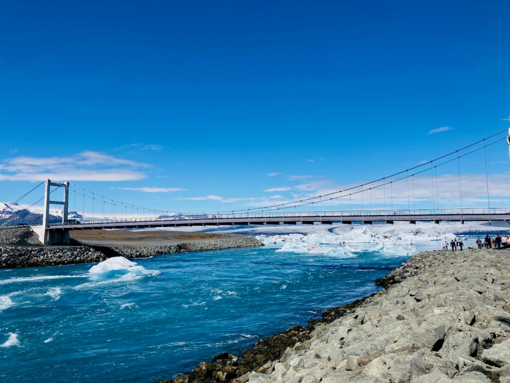
As the ice cap shrank, Breiðamerkurjökull retreated from the Atlantic and left behind a depression in the earth’s crust created by the weight of the ice over thousands of years. In the past century this became one of Iceland’s newest but deepest lakes. Most of the other glaciers end in braided rivulets that becomes streams and then rivers of glacial melt. Breiðamerkurjökull terminates at Jökulsárlón – the glacier lagoon – where ice calves off the glacier, floats around in the lake, and then flows out to sea under the one-laned suspension bridge on the ring-road.
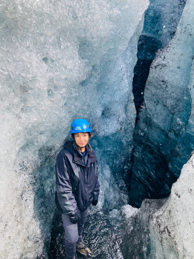
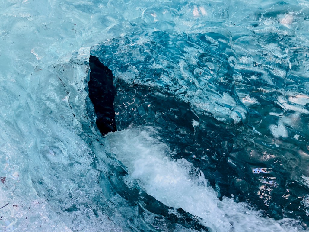
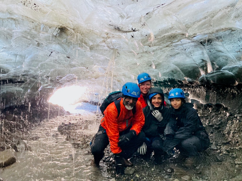
Jo had planned a glacier hike for us. We got into an enormous franken-jeep and drove along a very rocky path on the eastern flank of the retreating glacier up to where a new lake is being spawned. Then we walked another mile or two up to the ice, put on our harnesses, crampons, and brain buckets, and then took a nice guided walk up the lower part of Breiðamerkurjökull. We got to descend a part of the way into a crevasse and we explored an ice cave.
The bad news is that this glacier is melting fast. We can quibble about what is causing it. Evan’s grandkids will one day be incredulous that their grandpa actually walked on one of those things called glaciers. In the next 50 years the probability of bringing back dinosaurs is higher than for saving glaciers. During our lifetimes, in South Asia, between Pakistan, India, and Bangladesh, over 700 million people’s food and water sources and way of life will be disrupted severely by the disappearance of some of the world’s largest glaciers.
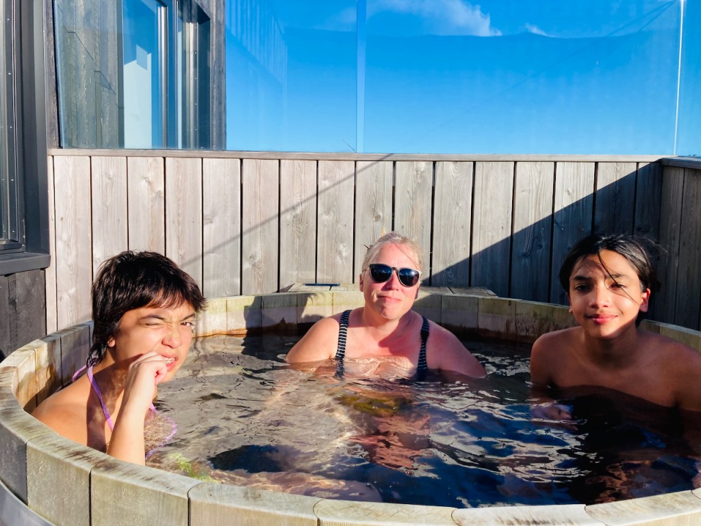
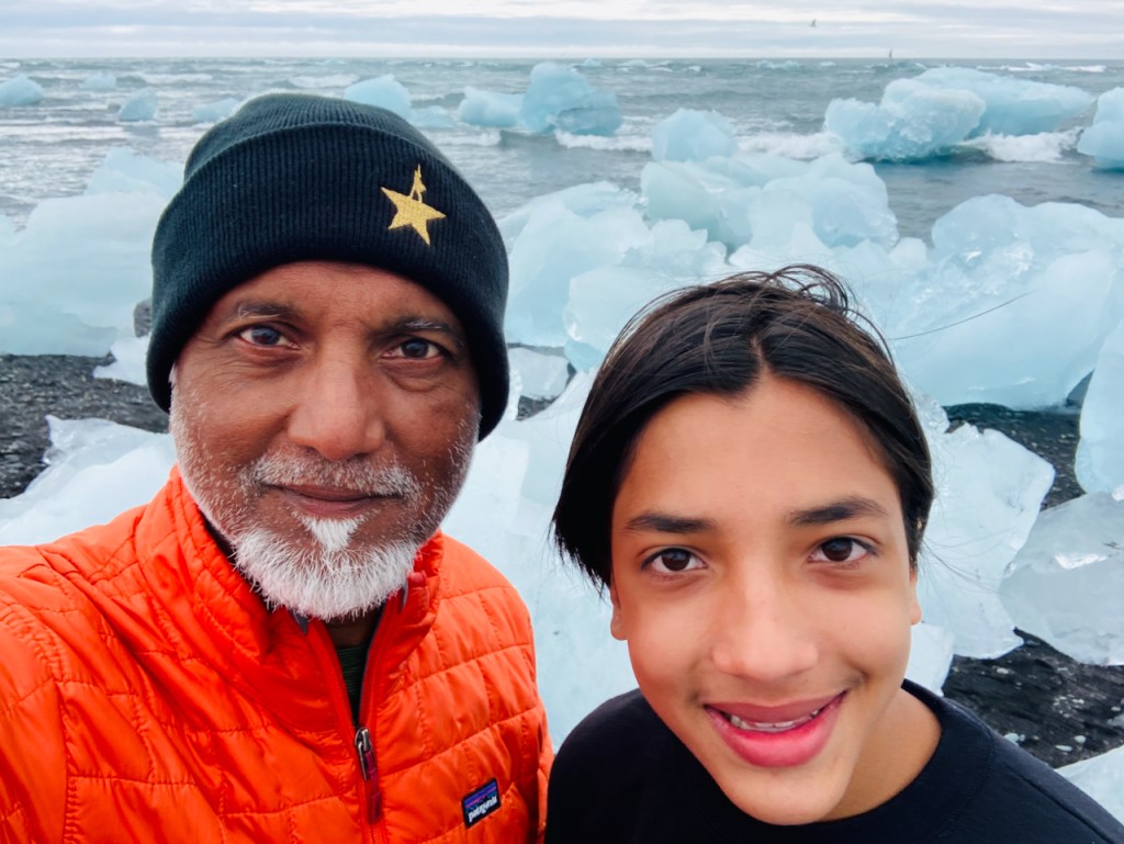
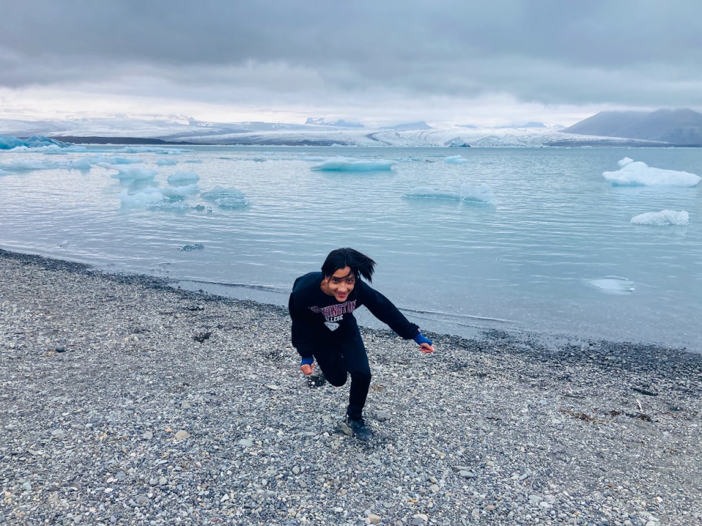
This depressing news made me very sad and when we got back to the hotel I finished the rest of the bottle of Olafsson Icelandic gin while Jo and the kids got into the nice wooden hot tub that was filled with hot water without requiring fossil fuels. In the morning we went back to stare at Jökulsárlón some more and to walk along it’s shores and up to the swirling blocks of ice on the beach on the Atlantic side. In the very last photo Evan is running along the lake like a freak. Behind him and across the lake is Breiðamerkurjökull. To the right there is a brown hulking mass of a rocky mountain sloping up above the glacier. The four of us were up there on the ice yesterday for the walk of a lifetime! Thank you, Iceland.
It’s Day 10. We have to go from northern Iceland to the eastern fjords. The drive takes us into the desolate highlands further than we have been before. But first we climb an extinct volcano.
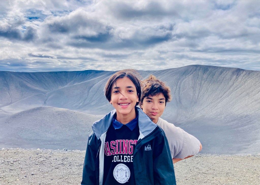
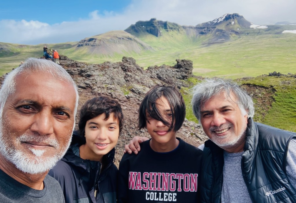
Hverfjall is a 1000 foot tall pile of grey tuff. About 2500 years ago there was a tephra explosion. Magma ran into water on the way up which turned the lava into bits of something called tuff, ranging from particulate ash to furniture-sized rocks. Then it all blew up and made a beautiful conical volcano. Almost nothing has grown on this tuff since long before Jesus was a twinkle in his father’s eye. We climb to the top and pose for a photo in front of the bowl of the crater. The rim is an almost perfect circle about a kilometer in diameter but we are too lazy to walk around. In the second photo below, you can see the cars down in the parking lot. The view from up here is great.
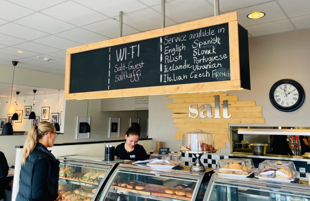
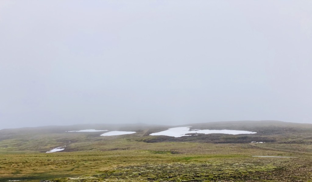
Then we drive for a few hours till we get close to the east coast and we stop for lunch at the town of Egilsstaðir. The waiters at the restaurant there speak more languages on any given day than at the UN. After lunch (and a brief stop at the Netto across the street for more spicy mini sausages) we start driving up the mountain to the east of town. Our destination is a small town at the end of a fjord on the other side of the mountains. The view to the west is amazing. To the east the mountain levels off and we are in a the high heath with patches of snow around the road. Then clouds creep in. Pretty soon we are in thick pea soup. We are descending through god knows what. The road is narrow with occasional guard rails. I think there is water on either side, or steep drop offs. We crawl down the road practically feeling our way. As we descend we finally get below the cloud bank and we see a green valley with a stream running through it and waterfalls along the way. We are in Seydisfjordur, our destination for the night.
Seydisfjordur is a lovely little town of 700 people. It is at the end of a fjord with steep mountains on either side that should be towering above the town but are completely hidden by a think bank of clouds close enough to touch from the upstairs window of our Airbnb. This evening the town is bursting at its seams with young people. Cars are parked in every possible spot and tents are pitched in front and back yards. Hundreds of people have descended into town for the LungA 2022 art festival. There are panels and performances and live music and kids wandering around with pillows and picnics. There is a pub right at the entrance to town and everyone is stopping by to drink a beer. The lone Lögreglan (cop) drives by slowly every few minutes. This is where having to plan and reserve things suck. We’d have stuck around for a few days and enjoyed Seydisfjordur but tomorrow at noon we are going to climb a glacier 400 km away. So we walk around and take some pictures in front of the powder blue church with the pride-painted path. Jo does three loads of laundry (really). And we get to bed for an early start tomorrow.
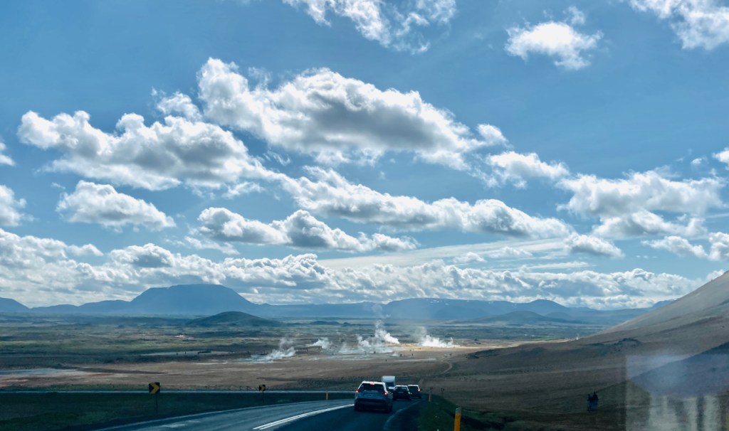
Today we explore a few places around Lake Mývatn (because so many Icelandic names include the word for “waterfall” or “lake” or “mountain” in the name I am be constantly making the chai-tea faux pas). And furthermore, we are going to strictly stereotype Iceland and only see things related to geothermal activity or waterfalls today. So our first stop is Hverir, the geothermally active region at the base of the Namafjall mountain (chai-tea again). As we descend down the pass over the mountain we see steam rising from the fumaroles half a mile away. Soon the smell of farts is strong enough to make Evan gag. I repeat my old central Texas joke about hydrogen sulfide laden air:
How do you know you’re driving through Luling, Texas?You roll up the windows when someone farts.
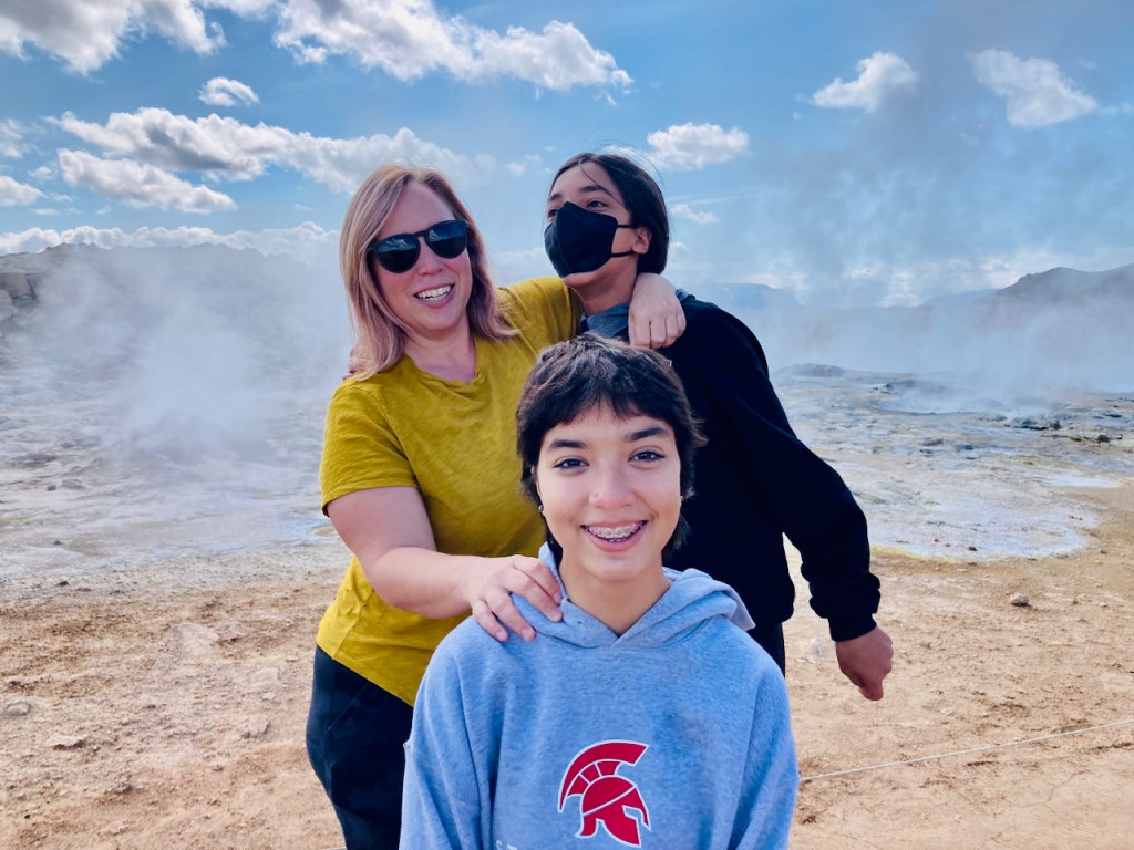
Something about the abundant smell of farts makes everyone act like a child. We laugh wildly as we run from one bubbling mud pot to another.
Evan is distinctly taller than both Vivian and Jo (not much of a feat), and is close to catching up with me (not a feat either). But you can see Jo trying to push Evan down in the photo above so he doesn’t look taller. Eventually we tire of fart jokes and we drive a few miles north to Krafla. Along the way we see the Krafla geothermal station. Steam at high pressure from about two dozen boreholes are fed into two turbines at the station to generate electricity. The Krafla power plant is Iceland’s largest geothermal power plant and provides about half of Iceland’s entire residential power needs. Construction of the power plant was interrupted by an active lava flow during the 1975 swarm earthquakes. One of the boreholes holds the world record for producing the hottest steam (430 degreed C), supposedly because it is so close to the magma. I’m thinking we’re pretty darn close to magma even up here on top.
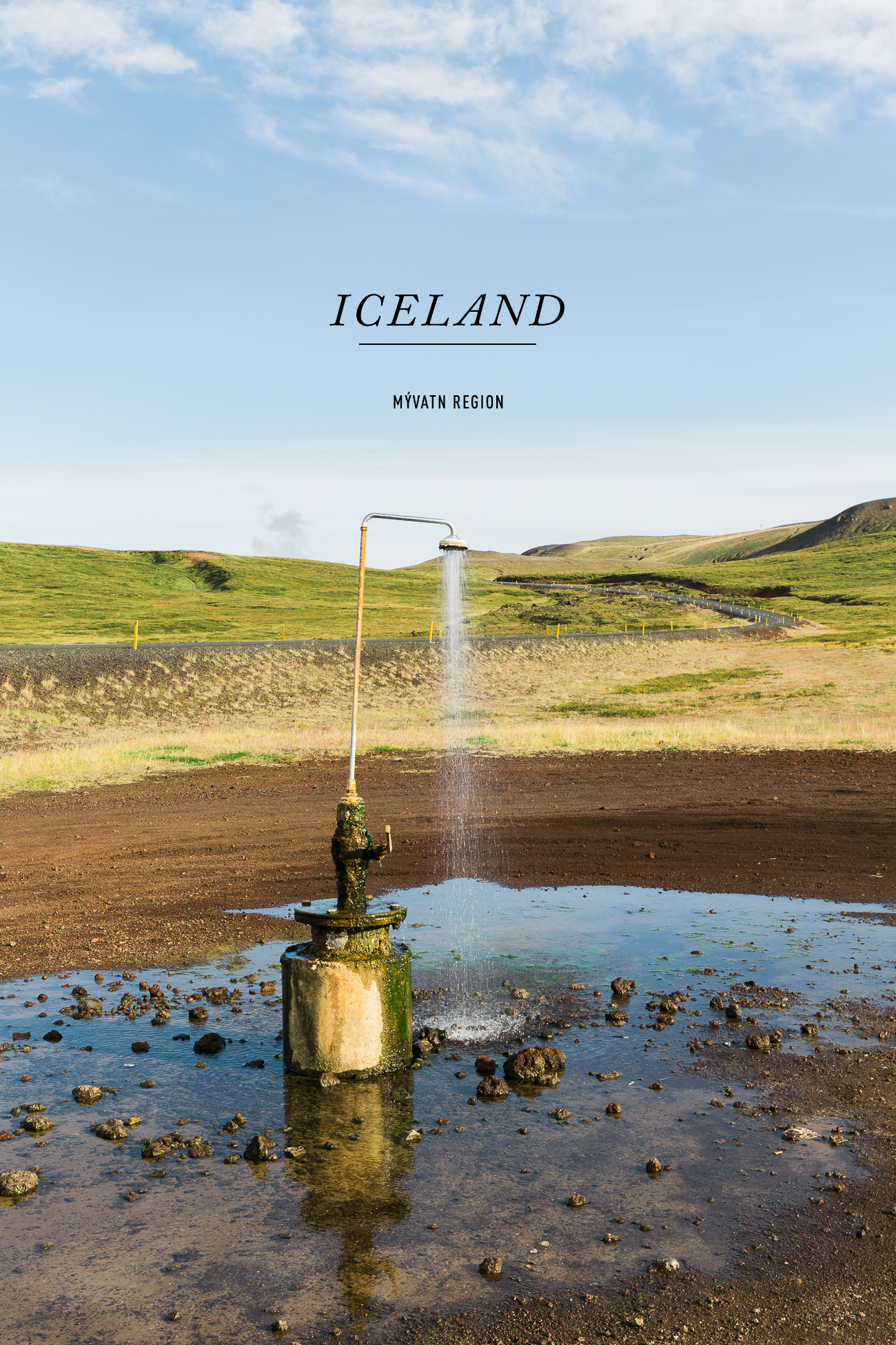
A by-product of the power station that is more famous than the electricity it produces is the Douche Perpétuel. No, not The Donald. This perpetual douche is a shower beside the road next to the power station that always has warm water coming out. There is no faucet to turn it off. People often pull up and park and strip and shower right here. There is no one today and we don’t stop for a photo, but I have linked to See and Savor’s photo from her blog.
We drive past the Douche Perpétuel and under steam pipes at the geothermal station to where lava flowed during the 1975 activity. We park and walk across about a mile of lava rock to a small pale blue lake that is gently steaming. Further to the west we see the extent of the lava flows. Black fresh lava rock covers many miles of low-lying land, rising up around the edges of hills and nearby mountains. Steam emerges from fumaroles though it doesn’t smell half as bad as it did down in Hverir. Or perhaps I am desensitized to farts.
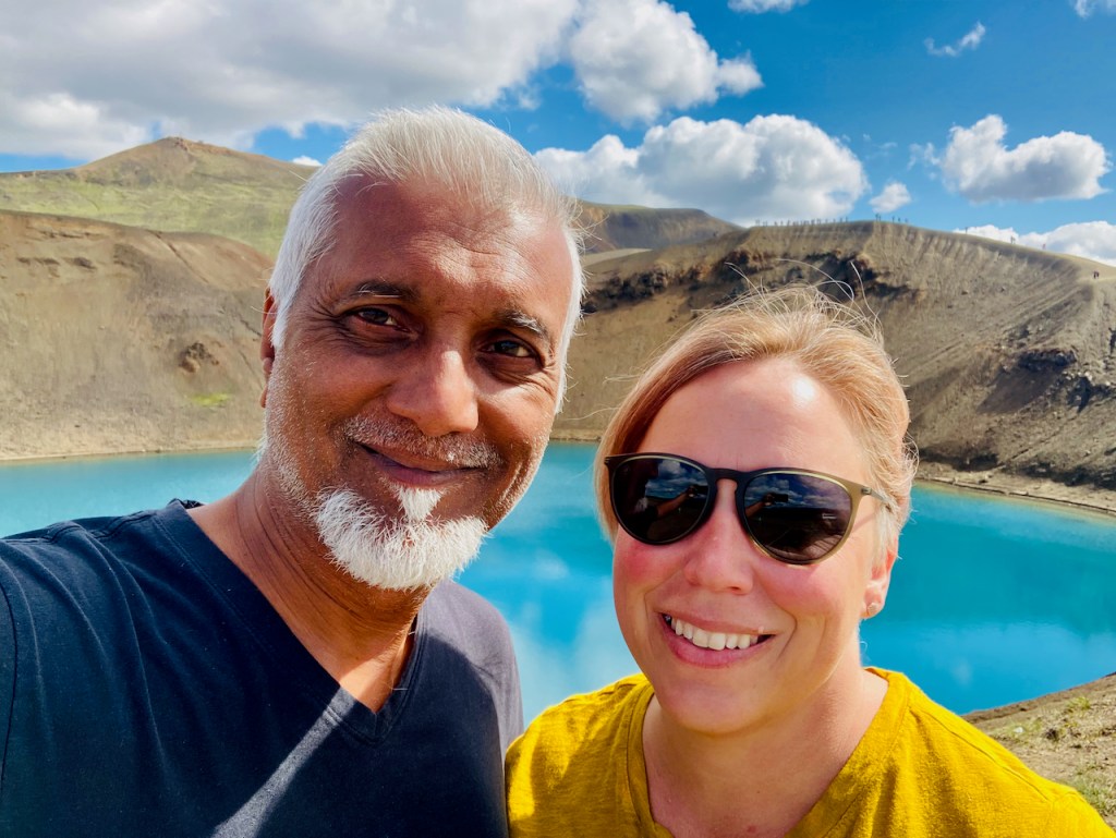
On the other side of the Krafla flows is a crater lake with the bluest water. There is a path around the rim of the crater – if you look carefully there is a long line of people just over Jo’s head. We drive back down the way we came, past another older geothermal power station and another very blue lake.
Then I need to join a zoom for work for an hour. I put on my headphones and zone out. My phone’s signal is good enough to carry on a video zoom with several people scattered around the US while Jo drives us to our next destination, conveniently just over an hour away. When I finish my meeting I find that Jo has taken one of her famous shortcuts and we in the middle of nowhere. We are on a narrow remote dirt road. A few minutes later we turn up into one of those dreaded F-roads, but just for half a mile. We park and walk the last mile and arrive at one of Iceland’s most dramatic and remote waterfalls – Aldeyjarfoss. The Skjálfandafljót river (“the river of trembling rapids”) gushes out of a barren rocky moonscape down twenty meters of basalt columns into a churning cauldron of seething water before making a right angled turn and flowing on downstream.
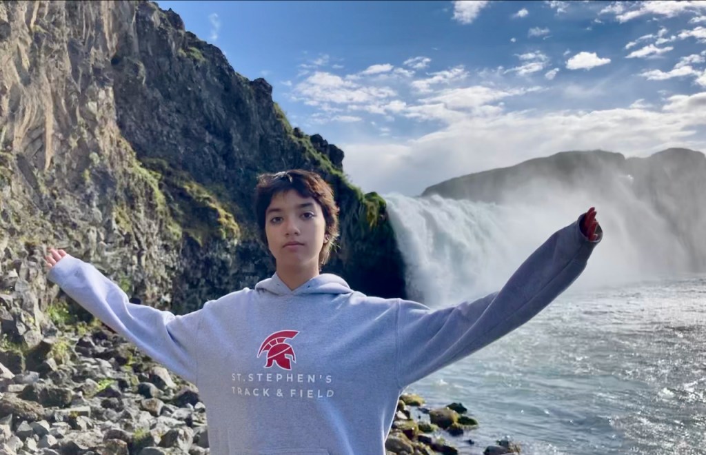
We stay and enjoy the stark beauty of Aldeyjarfoss for a while. Then we drive downstream along the Skjálfandafljót river on to another one of Iceland’s famous waterfalls, Goðafoss. There are tour buses and paved trails here and we descend to the level of the river below the thundering falls. According to one story, this is where the law speaker of the Icelandic parliament threw his pagan idols away after Iceland converted to Christianity. So, God Falls.
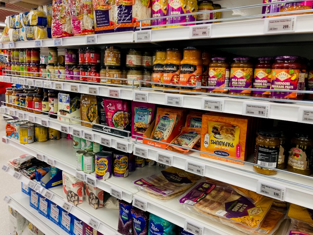
We stop at the Netto in Húsavík on the way back. I am amazed how well stocked these small grocery stores in this tiny places are. There are more spices and Indian and Thai food on the shelves than at big chain grocery stores in Falls City, Nebraska or Hiawatha, Kansas (I only compare with these because I am somewhat familiar with them). And there is Stubb’s barbecue sauce all the way from Austin! We pick up some fresh North Atlantic salmon and head back for our last night at Svartaborg.
When I was a couple of weeks old my parents moved from Kolkata to Hyderabad. Our first house was in a neighborhood called Domalguda. “Doma” in Telugu is mosquito, so the name of the neighborhood roughly translates to the mosquito place. Which isn’t surprising. A few decades before my arrival in Hyderabad, Ronald Ross, an English army doctor, had discovered the malaria parasite while he was posted in Hyderabad. In 1902 he got the Nobel prize for this and later they named a street after him in my hometown, not far from Domalguda.
So I was pleasantly surprised when I discovered that Mývatn in northern Iceland is “the midge (or sandfly) lake”. For the next two days Jo has planned an exploration of the region around this midge lake.
We set off from our cabin in Svartaborg across a broad valley and up though a lava flow to the lovely little town of Húsavík. The town is on the eastern side of a bay and directly to the west across the bay is a snow covered range of mountains. Overlooking the harbor is a hundred year old wooden church that is quite different from the churches we have seen everywhere in Iceland. Next to the church we found the Lókal Bistro, and settled down for a breakfast of crepes. It’s another lovely summer day in northern Iceland.
After breakfast we drive to Asbyrgi canyon about 60 km away. The canyon is approximately 3.5 km long and 1 km wide with towering walls of geometric basalt. A small creek runs through the middle. At the far end there is a tiny lake and a lovely woodland which is unusual in Iceland. The canyon ends rather abruptly in a horseshoe shape and you are surrounded by walls of rock and a tiny waterfall. Legend has it that Odin’s eight-footed horse stepped here during his travels to middle earth and made this canyon. The truth is scarier. To our south is the mighty Vatnajökull glacier which covers 8% of Iceland’s landmass. The ice of Vatnajökull so vast and deep that if it was spread evenly over Iceland it would smother the land under a 90-story thick slab of ice. But under the ice is fire. About 8000 years ago, and then again about 3000 years ago, a volcano under Vatnajökull erupted and melted a chunk of ice. That resulting melt-water gushed out to sea along the shortest straightest path and carved out the Asbyrgi canyon out of ballast rock in a catastrophic short and sweet flooding event. Even today, flooding caused by volcanoes remain Iceland’s greatest geological threat. People live along the coast at sea level. Towering above them are huge chunks on ice under which lay smoldering volcanoes.
From Asbyyrgi we drive south along the river valley. It looks like a desert on one side with undulating heaps of brown sand and grey ash and occasional enormous rocks, weathered into strange forms, and rolling green plains on the other. In the distance we can see the snows of Vatnajökull but the huge Icelandic desert highlands separate us – with no habitation at all in between. We pull up at a scenic spot where the kids and I are pummeled by wind when we step out to take a look. Occasionally we see an F road branch off into the distance, with pictorial and written warnings that only 4-wheel cars with high clearance should be driven on these roads. Normal rental cars are not permitted. There is a big sticker across the passenger side dash in our rental car with the same message.
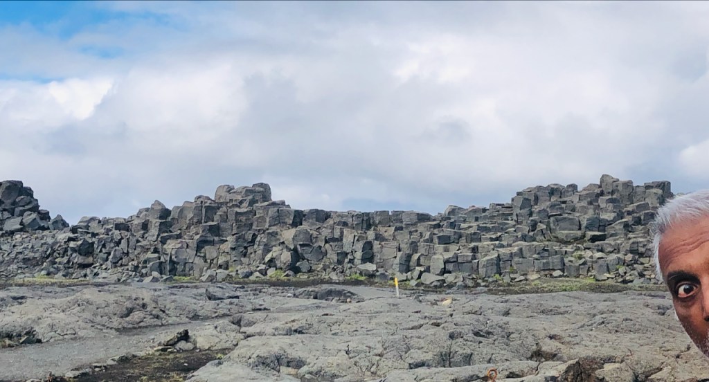
We soon arrive at the west side of Dettifoss, “Europe’s most powerful waterfall”. A mile long hike over a desolate field of geometric basalt rocks (I tried to photobomb Vivian’s picture but only got an eye in there) brings us to the almost chocolate colored Jökulsá á Fjöllum river which flows out from under Vatnajökull’s ice fields carrying millions on tonnes of crushed rocks. At Dettifoss, the river plunges about 45 m, sending a roaring torrent of water downwards and a cloud of mist upwards that can be seen for miles. Even from a distance you can sense its power. In the second photo you can see some people including the person in white pants standing close to the near edge of the falls while we are still a bit further away. If you look carefully you can see people on the other bank too, almost directly above White Pants. Vivian’s next picture was taken from approximately where White Pants is standing.
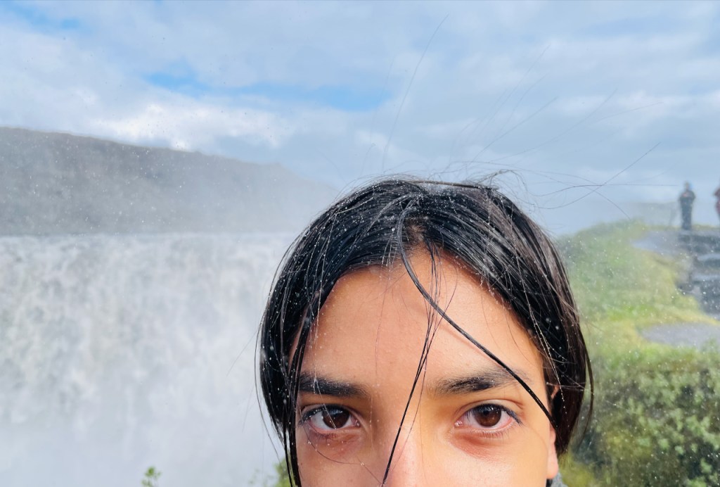
And here’s a photo of the top of Evan’s face at Dettifoss that I exported from Vivian’s camera. Worth saving : – )
After Dettifoss, we drive back towards Húsavík with a quick stop at a view point above a cliff overlooking the sweeping Öxarfjörður bay. The cliff directly below me is full of nesting puffins and periodically a few fly up in front of my face. Puffins look like tiny flying penguins and to my untrained eye they appear to put a lot of effort into flying.
Remember that southwest to northeast continental rift that cleaves Iceland which we met on our first day at Þingvellir National Park? This is where it comes out on the other side. In 1975 there was a swarm of earthquakes in this bay and the ground subsided by about 6 feet. This area was filled with water to form Skjálftavatn, or “earthquake lake”, which you can see in the background towards the right end of the photo below (which I share from the internet, but as much as I have tried, I can’t find the original again to link to it or credit the author).
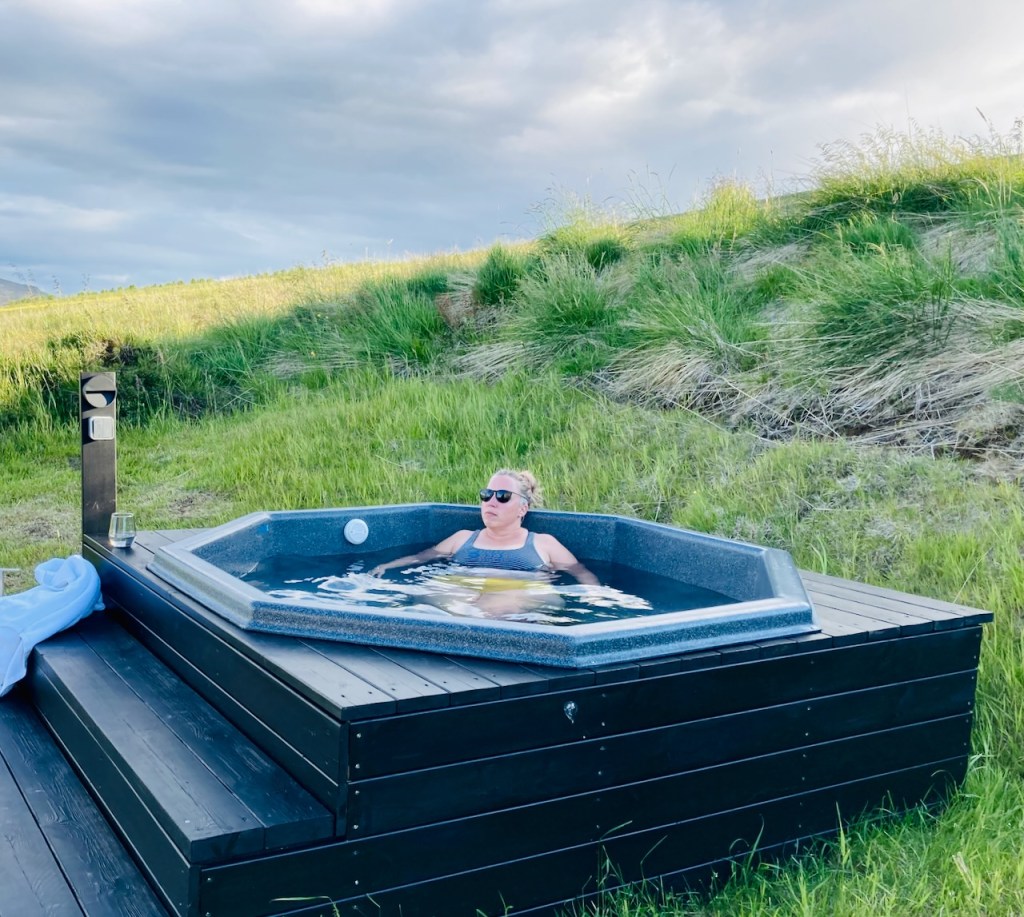
We finish the day with a lovely sit-down dinner at Naustið, a restaurant in Húsavík that reminds me of East Side Cafe, that restaurant-in-a-house in Austin that no longer exists. We head back to Svartaborg and a soak in the outdoor hot tub before retiring for the day.
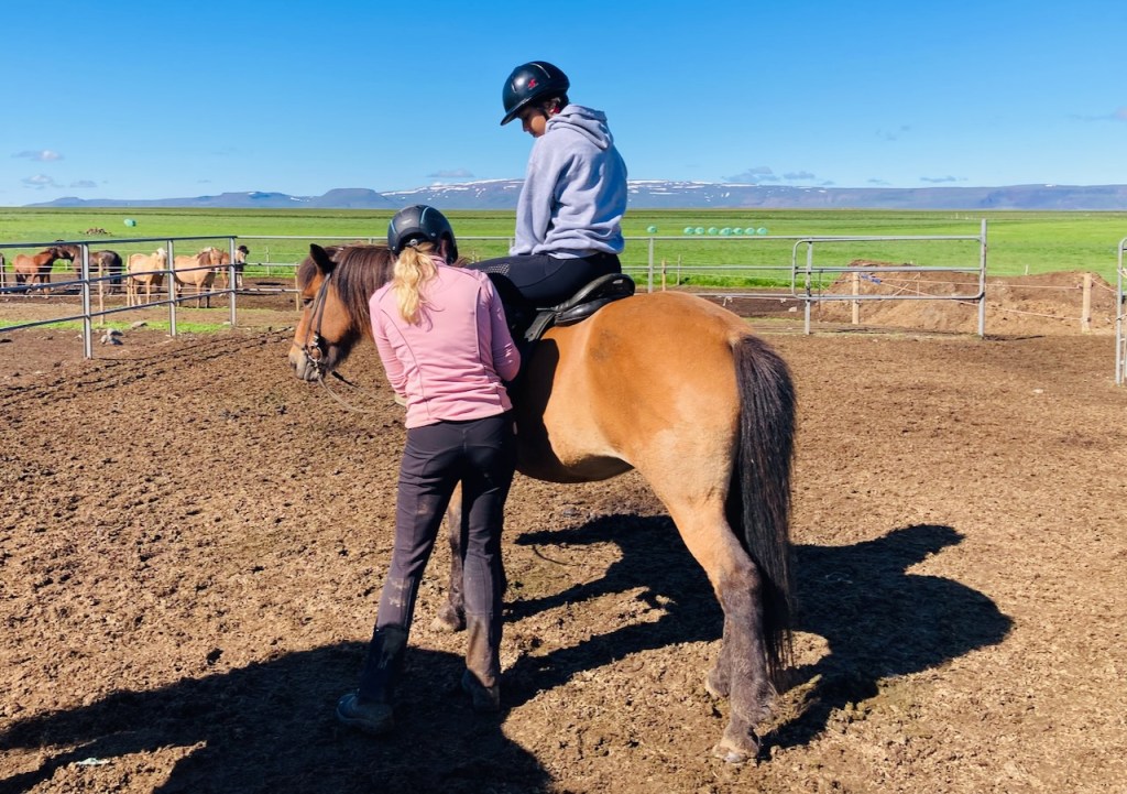
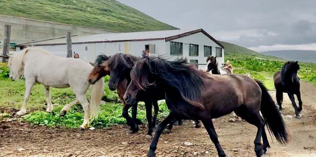
The sun came up bright and it was going to be a beautiful day. We drove for a few miles back west along the ring road till we came up on a turn that took us to the Galsi farm and a sign that said “horse rentals”. It was indeed a good day to rent a horse. So we parked by the barn and walked up to the corral that had several horses. Three dogs, two cats, and an ewe with two kids came up to greet us.
Presently two young women rode into the corral. They and their horses were breathing hard and the girls had big grins on their faces like they had just finished having fun. The horse trainer (the other one worked mostly with the sheep) told us to sign up and pay online which Jo did on her phone. Then they got Vivian and Jo their horses (Naria and Doogar), and a bucket full of brushes and showed them how to brush their horses.
Everything in Iceland on a beautiful summer day moves slowly. Vivian and Jo brushed away for a while. The horses were like big dogs and loved being brushed. Jo’s horse, Doogar, nuzzled into her. Presently the horses were saddled and the four girls went off riding over the meadows towards a river.
The horse trainer girl was German and she was taking a gap year to work in Iceland and have fun. She was an experienced rider and had just returned from a horse show where they had put the horses through their paces. While the girls were out riding I spent some time reading about Icelandic horses, or simply Icelandics while sitting on a great wooden chair outside, with a dog asleep at my feet and a cat on my lap.
Icelandics are considered their own breed. Horses were brought to Iceland by the Norse. In 982 AD the AlÞingi, the Icelandic parliament, passed a law banning the import of any more horses. For the last 1000 years the Icelandics have developed on their own. There are few natural equine diseases in Iceland, and the breed is long lived. But the population is susceptible to foreign pathogens because they have lost their natural immunity. To protect the herd, once a horse leaves Iceland, it can never be readmitted. The Icelandic is small at 13 to 14 hands but it is considered a horse, not a pony. It has two additional natural gaits that other horses don’t have. These gaits apparently allow the horse to be ridden fast but still very comfortably. Icelandics are mostly used for recreation these days, but they are still often used during the roundup of sheep in the highlands. While we’ve been seeing Icelandics all along our journey, the density of horse farms in this region is definitely higher. On our way in yesterday, we saw mares and feeding foals and large herds frolicking around spiritedly in the meadows and river banks.
Jo and Vivian had a great time and returned happy riders. Jo said their horses were gentle and fast, though she did turn down an invitation from the trainer to go even faster.
After riding, we turned east once more and continued along the ring road till we took a diversion to see the turf house at Glaumbær. This is a large home that is built out of 13 interconnected turf buildings. The walls of these buildings are made of cut and stacked blocks of sod, and there is grass growing on the roofs. Imagine taking the “tiles” of sod that you use to lay a lawn, and stacking them on top of each other to make walls. The walls are two meters (six feet) thick and have stood for over 200 years. The work and storage rooms and kitchens have bare walls and you can see the layers of turf. In the main living areas the rooms are fully paneled in wood and you can’t tell that there is anything different about the construction. In addition to the names of places we’ve been seeing, these houses made me think that Toklien must have visited Iceland. I can imagine this home in the Shire.
Unrelated to the type of construction, the area around Glaumbær is historically important. Many well known Icelanders including Lief Erikson (Lief the Lucky) had familial ties to Glaumbær. The church behind the sod home is located where one of the earliest churches in Iceland once stood, and is related to the christianization of Iceland.
Some say it is myth, others believe this is actually how it happened. By the late 900’s, Christianity was poking its head up in Iceland. There were foreign monks. An occasional chieftain had converted. But King Olaf of Norway had still not convinced Iceland to convert. So Olaf took Icelandic people in Norway hostage, hoping this would help convince the islanders to let the Lord in to their hearts. Two chieftains returned to Iceland and the AlÞingi was called to order in 999 AD to discuss the business of Christianity. After much discussion, it looked like there would be civil war, Christians versus pagans. But cooler heads prevailed, and the chiefs agreed that they would all abide by the decision of the lawspeaker. The wise man retired for a day and when he returned, his verdict was a compromise: the entire island would convert to Christianity but secret worship of Odin (Marvel had a firm grip on people even back then) could continue. He himself was a pagan, and he was respected and besides, there was the business of King Olaf. So everyone converted and either hid or threw away their pagan idols. In 1016 AD they got rid of the compromise bit about secret pagan worship and everyone lived in harmony ever after.
After Glaumbær we drove on to Akureyri, the most populous city outside of the region around Reykjavik. It is a lovely city located at the end of a fjord and at the base of a large mountain. Akureyri’s natural harbor doesn’t freeze in winter. There was a giant cruise ship at port and the sidewalks near the harbor were bustling with people. After we went through the town we passed by Iceland’s newest lux geothermal spa – the Forest Lagoon – owned by the same people that run the famous Blue Lagoon spa. Further up above town the ring road passes though a relatively new tunnel. It is the only place where you pay toll in Iceland, using a QR code and your phone. When they were building the tunnel they ran into a big geothermal flow that flooded the tunnel. Work had to stop. Delays and expenses mounted. They eventually diverted the hot water to a stream below and finished the tunnel. Meanwhile, a new spa, the Forest Lagoon, was built to use the hot water down below. Parts of the tunnel were about 10 degrees C (almost 20 degrees F!) warmer than the surroundings.
We continued east and north on the ring road after Akureyri till we finally got to Svartaborg, our home for the next three nights. The cabin is one of six lovely modern buildings well spaced out on the side of a grassy hill. Vivian read, Evan and I played chess, Jo got the outdoor hot tub ready, and we enjoyed the rest of the lovely day. Another day in paradise.
And on the seventh day they rested. While I drove. We had nothing planned except to get from point A to point B about 300 km away. Which was perfect for a rainy gloomy day. We spent the first half of the day on dirt roads in cloud covered heaths, crossing over the “thumb” of the Westfjords. Even for the emptiness of Westfjords this section was desolate. There were no villages or even sheep farms here. Just patches of snow and glacial lakes and ancient lava flows.
At the other end of the road was the village of Hólmavík on the eastern coast of Westfjords. When we got to Hólmavík it had stopped raining and the sky looked a mite brighter. With a population of around 300, Hólmavík has a grocery store, two gas stations, several restaurants (most were closed), and a big modern church on a hill with rainbow painted steps leading to the top (July is Pride month in Iceland and they are proud). Hólmavík also has the Galdrasýning á Ströndum, the Stranda Museum of Sorcery and Witchcraft.
The museum was interesting. The Icelandic sagas, like so many other cultures with a rich heritage of storytelling, are full of tales of magic and witchcraft. For example a few chapters in the Eyrbyggja Saga recounts happenings during the 10th century at a heath in Snæfellsnes, the Fróðárheiði, that we drove over a few days ago. There are ghosts and ghouls and death promises not kept. But this museum isn’t about stories. It delves into the factual history of Iceland from 1640 to 1690 when many people were burned at the stake or tortured to death after being accused of magic and witchcraft. Most of this was concentrated in Stranda, this region of the country, whose symbol today is the three pronged magic wand. The museum explains that economic mobility was very limited. So people were ready to resort to magic to get rich or settle old debts or accuse someone of magic for similar ends. So much of the magic described has to do with making a few extra bucks. Like the trick we nicknamed “money pants”. Here’s the English version of the story of money pants from the most excellent book I bought at the museum. There is a life-sized replica of moneypants with penis and scrotum and all but I’ll spare you.
We finished the self-guided tour and Vivian and Jo had a bite to eat at the cafe. We just missed J. K. Rowling who visited the museum too, on her private yacht. By a couple of years, according to a framed newspaper clipping at the cafe (what’s a newspaper, dad?)
We continued along the coast of Stranda all the way to the southern tip of the Hrútafjörður fjord and joined the paved ring road (which skips the Westfjords). The road swung inland and upwards in the northeast direction till we caught up with the coast again at the nondescript town of Blönduós where we spent the rest of the evening and the night in a nondescript cabin while it continued to drizzle off and on. I got meat soup at the Nesti attached to the local N1 gas station while Jo made the kids some pasta we had been carrying around for just a day like this. We hope for better weather tomorrow.
We start with a nice breakfast at the Latrabjarg’s dinning room – a beautifully proportioned room that used to be the auditorium of the community center when more people lived around here. Michelle discovers an old upright in the corner and recognizes the brand as popular American piano manufacturer from the past. The owner sees her interest and when he finds out that she is a professional musician, asks if she’d like to try it. She does and the room is full of music for a few minutes. The piano sounds great and Michelle says that it is in good shape.
Then it is time to say goodbye to Alu and Michelle. We are so glad they came. They drive back to Reykjavik today and head back home in a couple of days. The week has gone by quickly.
We drive over the pass at Kleifaheiði heath and back along Vatnsfjörður past where the ferry dropped us off, to the tiny village of Flókalundur. According to local history this is where the first Norse, Raven-Flóki settled, sometime before 900 CE. He climbed up to a mountain and saw an ice filled fjord believed to be Ísafjörður to the north, and said something like “I shall call this land Iceland”. At Flókalundur Jo has plans. Instead of following a nicely paved road along the southern coastline of Westfjords that would get us to our destination sooner, she has me turn north into unpaved cloud covered wildness. Almost instantly we run into road construction. I mean literally. There are huge slowly moving machines that are excavating and dropping rock and aggregate that we drive on moments later. We don’t understand what’s written on the orange warning signs. There are few people in Iceland, so nobody is around to direct traffic. But the construction crew must be better at seeing through the foggy soup because 1) they don’t seem surprised to see us, and 2) they avoid making us a part of the road.
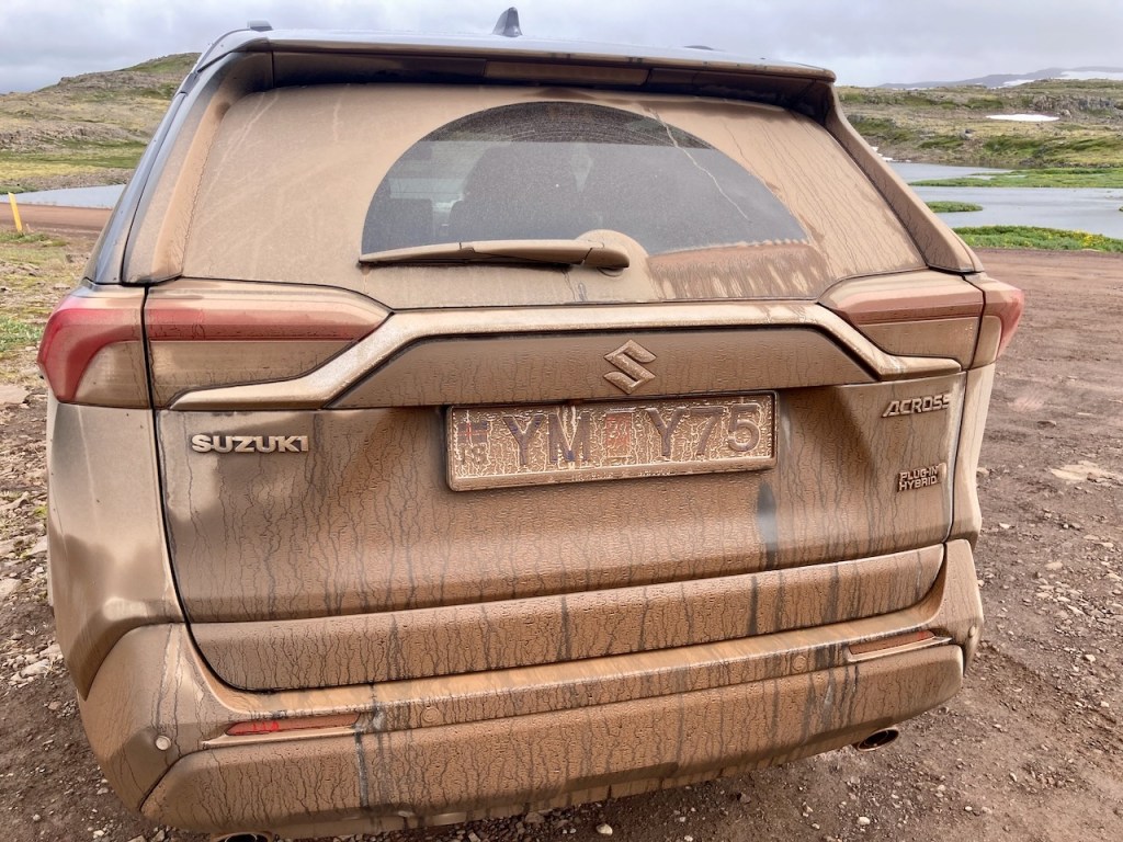
We wind along the cloud-covered muddy road for quite a while – this is a big heath. Around us we get peeks at massive cliffs and mountains and snow banks and eventually the clouds lift and we find ourselves in a beautiful spot. I get out to stretch my legs and look around. I notice that our rental isn’t exactly clean. I can’t tell what color it was. Getting in and out without getting muddied requires acrobatics skills and steady surgeons’ hands. Alas I have neither so instead I have muddy pant legs and hands.
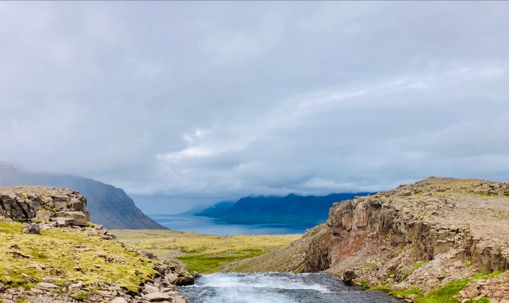
There is a lake to our right and a cliff to our left. A stream cascades into the lake and flows out the other end and disappears over the cliff. Far below I see that there is another wide flat heath with more streams and then even further below is the next fjord, Arnarfjörður. Somewhere around here there’s got to be a nice tall waterfall. Aha! That is why Jo brought us here.
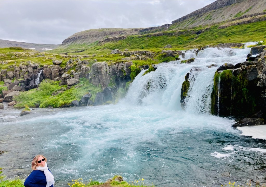
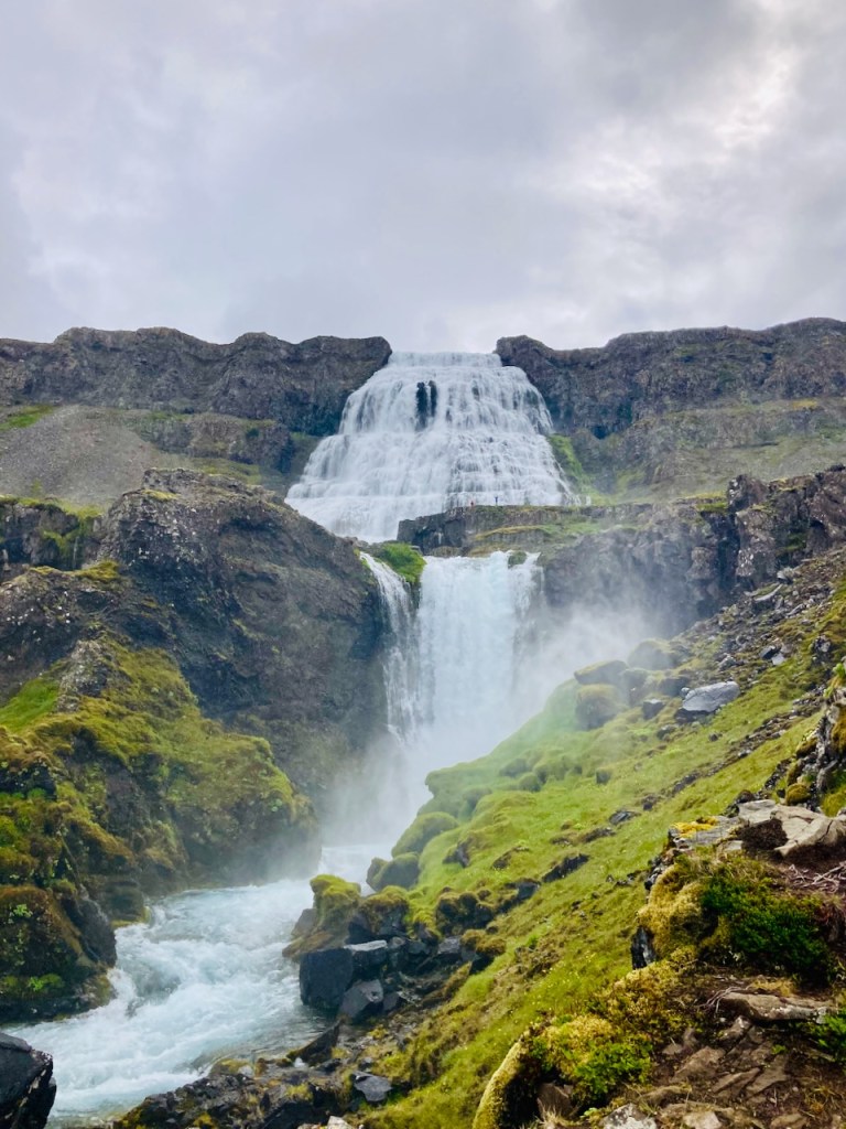
We drive along the edge of the heath and down a steep curved grade to the fjord. The views are fantastic and I have to stop driving a couple of times to take it in (the option to drive and look at the same time is a non-starter). At the bottom we look up and see Dynjandi with six or seven waterfalls tumbling down into one another. The crown jewel is the topmost fall, the tall and badass Fjallfoss. Here’s Jo at one of the other lovely falls.
Vivian and I start climbing up the trail to the base of Fjallfoss, the big bridal veil like falls on the top. It is hard to tell how big the falls are in the photos. The total combined height of the drop of all six falls in Dynjandi is over 150 m. The height of the topmost falls by itself is 100 m. In the photo below there is a ledge at the base of the top falls. There are a handful of people standing there, one with their arms outstretched over their head if you look carefully. That should give you some scale. It also made me wonder why that person and then one by one the others strike Instagram worthy poses. Even from here I can see they aren’t taking selfies.
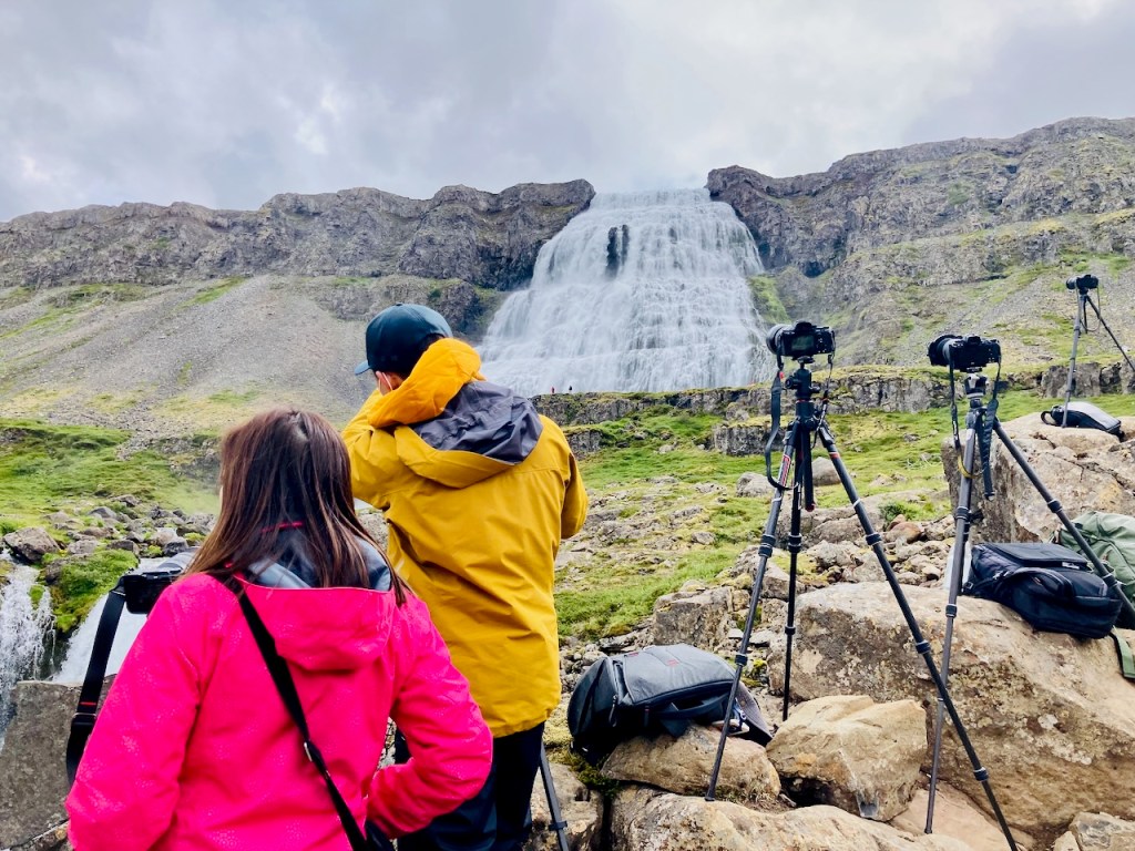
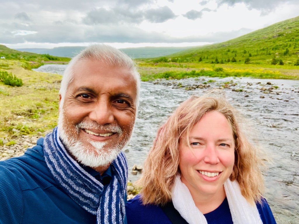
Then Vivian and I come around a corner on the trail and see a small forest of tripods with cameras mounted on them. The cameras are outfitted with zoom lenses. Two people with hand held radios man the cameras. When the tourists are ready up by the falls they radio the camera crew who then go to that person’s camera and click away. This tour group is going to have some solid Instagram posts. Vivian and I have to make do with this selfie when we get up there on the ledge below the thundering falls…
The road out of Dynjandi is paved. We drive along the first fjord and pass through two tunnels in short order. The second tunnel, Vestfjarðagöng, is the longest tunnel in Iceland. It even has a roundabout in the middle where three highways meet! A large portion of the tunnel is a single narrow lane with tunneled pullouts where oncoming traffic wait for us. The instructions are obviously in Icelandic. Jo follows the car in front of us and we make it out in one piece without pissing off anyone – I think. When we exit from the tunnel we are above the lovely town of Ísafjörður and a fjord with the same name. That fjord is one of six smaller side arms that connect to a bigger fjord, the Ísafjarðardjúp (“djúp” is deep). The views are magnificent. This is the fjord that Raven-Flóki is said to have gazed upon over a thousand winters ago when he named this land Iceland. I look at the very same bit of land and water as Flóki. There is no sign of human habitation as far as the eye can see northwards (there is a two-lane highway with a hybrid car directly behind me : – ). We are as far north as we’ll go. We are above 66 degrees N, but not inside the Arctic circle. But even up here we can’t escape our effects on earth. Iceland is losing its ice caps fast. If Flóki lands here fifty years from now he’ll have to come up with a different name.
We stop at the town of Ísafjörður for gas. Then we notice two guys at the far end of the gas station washing their truck with a hose attached to a big brush in a bay that has a couple more setups to wash cars. We pull up in our muddy car and ask them where/how to pay. They tell us it is a free service. Jo and I get to work and minutes later we have ourselves an almost clean vehicle. We drive around a bit and then stop to eat. We walk past a Thai restaurant with not great reviews and then find a kabab joint. As usual in Iceland there is only one person running everything. He is out of several items. But what we get is great and all four of us chow down our lunch. By then we are the only customers (it is a late lunch) and we chat with him a bit. He is from Kurdistan and arrived in Iceland with his family as a child. He offers his view on Icelandic food. “Their soups are terrible. No seasoning. All my Icelandic friends eat here.” And on geopolitics. “We like the Americans. They are honest. They only want money and oil. The Russians like to kill.” And finally on Turks. “Fuck the Turkish”. He pronounces the “u” as “oo”, and the “T” with a soft “th”. Thoorkish. I apologize to Turkish readers for the man’s rudeness.
We head out with full bellies and a happy clean car and drive up and then down the other side of five of those six southern side fjords of Ísafjarðardjúp for the next couple of hours. At the start the views are nice and I take it all in while I drive. By the time we get to the last one I am beginning think of fjords the same way our new Kurdish friend thinks of Turks. Finally our Apple CarPlay announces “In 600 m turn right”. We go up a dirt road along a lovely mountain stream through a steeply glaciated valley and in a few miles we arrive at Heydalur, our destination for the night.
Heydalur is a country adventure “resort” for people and families. There is a large campground that is slowly filling up with campers and tents and kids. The reception is in a big barn-like wooden building that also houses the dinning facilities and bar and Jo checks us in. The kids’ room is around the other side of the one of the buildings from us. They chill while Jo and I step out to explore. The property in interesting with a near-by outdoor hot tub, an indoor hot pool (in a fairytale-like indoor arbor), and a further away natural hot pool on the other side of a stream. We walk down to the stream but can’t cross it without getting our shoes wet so we return via the stables where we see the horses being led into the pasture for the day.
After our walk and a nice dinner (fish soup, lamb, arctic char) we tell the the kids to go explore and I go back to our room and nod off. Jo wakes me up later and says she can’t find the kids. She’s looked everywhere and even went back down to the stream to check the natural hot tub. She says that there were three naked people on the other side of the stream but it was too far to tell. We agreed that while we can see Vivian getting naked and going off with others, we could not imagine Evan doing that. Then Jo heard their voices from up the mountain on the north side of the valley (I can’t hear shit). After a while we see them and they wave back from what looks like the top of the long flat-topped mountain. I start climbing to go meet them. There is a trail now and then over rocks covered with heather and though the slope is steep the climbing is easy. I pass Vivian and Evan on their way down and Evan warns me that it is a hard climb. Now I have to do this. An hour later I’m on top of the third false peak that I have encounter (Vivian and Evan were on the first when we saw them), and there is at least one more above me, though the top has flattened out. I’m pretty high and can look over to the fjord now. I sit down the enjoy the soft moss and the lovely evening and the total silence. After a while I add a tiny rock to the top of a nearby cairn and walk back down. Meanwhile, Vivian and Evan have been to the nearby hot tub (clothed in swim trunks) and then settled down for the night. It is past 11pm and still bright outside. I fall asleep thinking happy thoughts about Iceland.
By now we have spent three days and driven around 800 km and seen bits of the Golden Circle and the Snæfellsnes peninsula. Today we take a two and a half hour ferry ride from Stykkishólmur to the Westfjords, firmly getting us out of the main tourist splash zone.
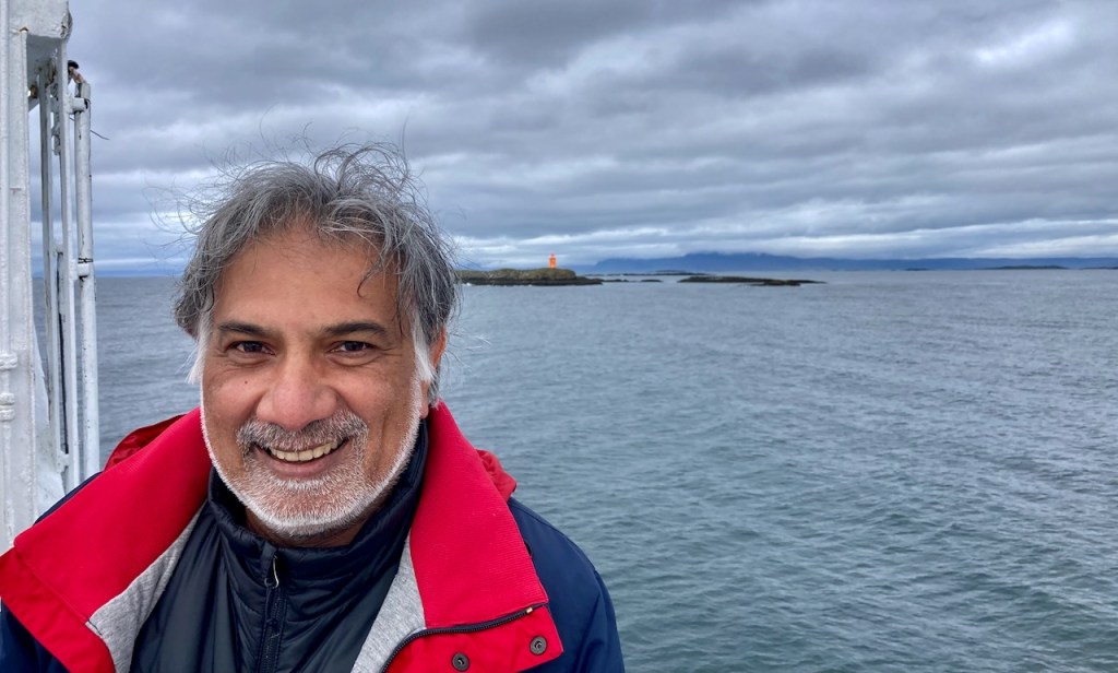
Our ferry is the Baldur, the most recent of a long line of proud Baldurs who have plied this route, their photos gracing the walls of one of the companionways leading up from the belly of the ship where we parked our cars to the top deck and the “floating restaurant”. The 68 m long vessel with a cruising speed of 14 knots was built in 1979 in Norway and extended by 12 m and outfitted with new motors for this current assignment. Things are chill in Iceland. We rolled into the car hold of the Baldur with no supervision at all. A few minutes later a 15 year old kid showed up and directed us to our parking spot. Then we were left to our devices to find our way out of the hold and to wander around the ferry.
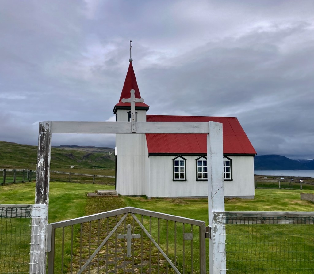
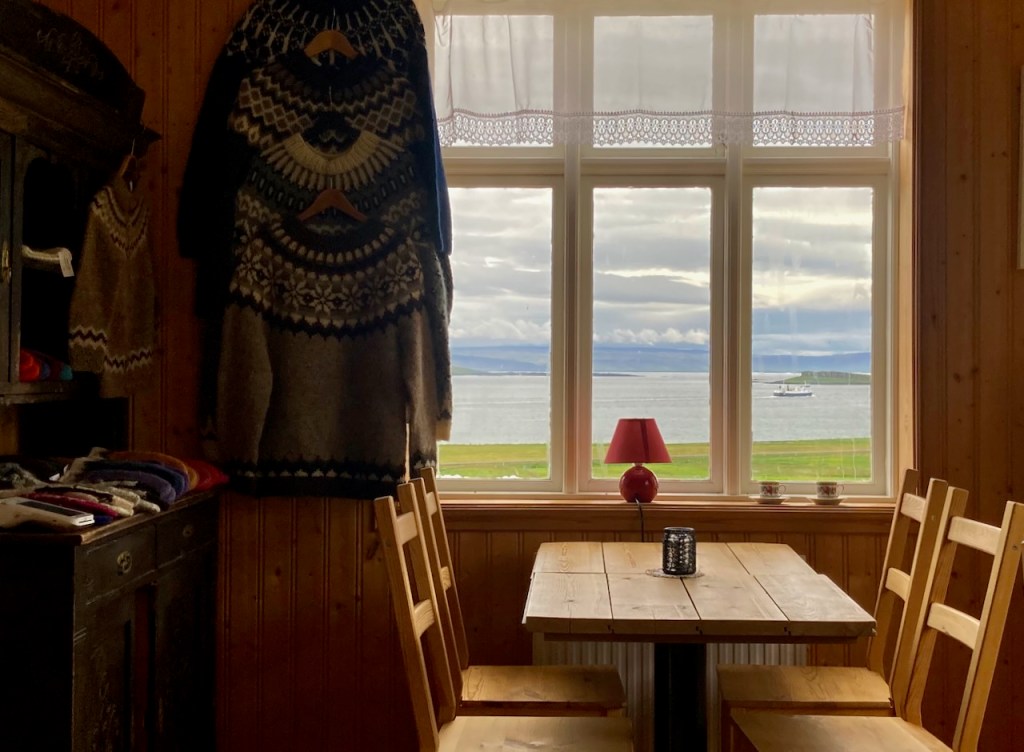
The ship stopped briefly at the island of Flatey (where I took a photo of the red toy-looking tractor on the quay) and a bit later we found ourselves driving into the Westfjords. There wasn’t a town of village at the ferry terminus. We drove up to a nearby church and found a cafe next door. We had a quick snack (lamb soup for me, hot chocolate for the kids), took a photo of the departing ferry through the windows of the cafe, and headed out into the Westfjords.
The Westfjords are remote and empty even by Icelandic standards. The area is vast (about a half the size of Switzerland), and the deeply indented coast is about a third of the total length of Iceland’s coastline. But only about 7000 people live here, half of whom live in the town of Ísafjörður. So the rest of the Westfjords has about as many people as Jester, the largest dorm at UT. Geologically it is the oldest part of Iceland and has no active volcanoes and less seismic activity than the rest of Iceland. During the Quaternary ice age about 2.5 million years ago, huge glaciers shaved off the tops of the volcanos leaving behind flat topped mountains with steep sides that reach out into the ocean. The gaps between the fingers are the fjords – narrow inlets of the Arctic Ocean. Waterfalls and creeks collect ice and snow melt and cascade down the often desolate sheer cliffs. The few people that do live here cling to the coast when it is flat enough to build homes and sheep farms. The driving is dramatic, sometimes even more so because roads are often unpaved.
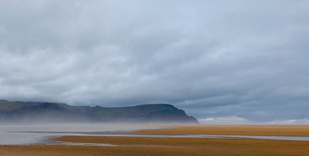
Our first stop was Rauðisandur – literally red sand. This is a beach reached by a dirt road that drops a few hundred meters in the last three switchbacks. There is a beautiful church and a cafe. We predictably stopped at the Franska cafe for waffles and more hot chocolate and then set out on foot to explore the area. The pictures say it all!
We then drove back over the heath and around the next fjord to the town of Patreksfjörður where we met Alu and Michelle for dinner at Albina – a small grocery store, ice cream shop, and pizza and burger joint. Here is Vivian reading/annotating her book because she didn’t need diner (too many summer sausages in the back seat). We saw an Italian couple we had seen with bicycles in our ferry that morning. They were going to spend the next 10 days riding and camping around the Westfjords.
After dinner we drove for 45 minutes on dirt roads to a point almost exactly across from Patreksfjörður on the other side of the fjord. We drove past the hulking rusty remains of an old whaler and then the wreckage of an US Navy DC-3 (you get the theme) to the end of a dirt road where we found the rather strange Hotel Latrabjarg. Unfortunately we were too wiped to drive to the famous Latrabjarg cliffs at the very western point of Iceland where puffins and other birds nest. Jo had to settle for a calf in the yard next to the hotel that was very curious about her. She initially shied away, but eventually came over and licked Jo’s hand like a big cow puppy.
Day 3 starts with a light drizzle. It’s been between 8 and 13 degrees Celsius (approximately 45 to 55 F). London is steeling for 40 C tomorrow. The rest of the world seems to be roasting. We are not complaining up here. We start this morning’s drive towards the north coast of the Snæfellsnes peninsula by going over Fróðárheiði, a heath as it is known in Iceland and what I’d call a low pass. The highest point of the pass is 361 m which isn’t much at all, but we start and end at sea level on either side. The road at the top is almost invisible with low clouds but we see bits of lakes, streams, and silvery waterfalls everywhere. As we descend to the other side, through the rain there is a golf course and yes, there are people playing out there, naturally!
We soon reach the picturesque little village of Hellissandur, the westernmost habitation in the Snæfellsnes peninsula. Our first stop is Gilbakki for cups of hot chocolate and coffee. While there is a cold drizzle coming down, they know something we don’t. There is a tent set up in the lawn outside with a tub full of iced beer and sodas. Hellissandur bills itself as the street art capital of Iceland and they are getting ready for some sort of a street festival with jumpy castles and all. We came by later and looked at the murals.
Fortified with our hot beverages we drive a few miles away for a short loop hike around Raudhólt, an old crater. We are under Snæfellsjökull but all we can see are the snowy shoulders. The peak is shrouded in clouds. Evan and I head one way around the rim of the rounded moss covered creater, the others go in the opposite direction. We meet Vivian on top and look around from our perch. Not far from us we spot Saxhóll – the volcano crater that we visited the last time we were in Iceland eight years ago and we decide to go there next. The weather has improved significantly. The rain is gone and there is occasional sunshine. After the loop around Raudhólt, the kids stick their faces in a stream and drink clear cold fresh water. What a treat!
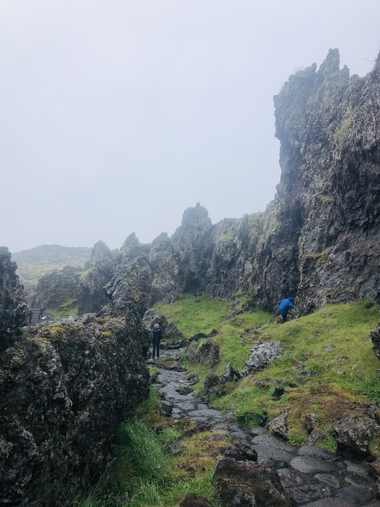
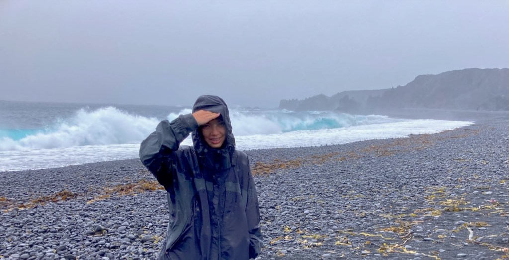
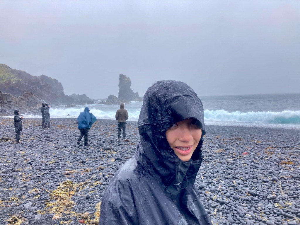
Our next stop is just a few miles along the coastal road – the black sand beach of Djúpalónssandur. But the weather couldn’t be more different. There is a strong breeze and it is blowing the rain sideways. Evan and Jo opt to stay in the car. I follow Vivian along a winding stone path down to the beach past interesting lava rock formations. We are pelted by rain and by the time we are at the beach our pants are fully drenched in the back and the fronts are perfectly dry. The surf is pounding and the beach is littered with old rusted remains of the British trawler that wrecked here 75 years ago killing 15 out of 19 crew. In the past, people from nearby villages would set up temporary huts in summer and fish here. There are big round rocks on the beach that you had to show you could carry before you went out on a fishing boat. One sign says that the heavy rock is 154 kg! If I had to go out on a boat in the weather today I’d want some strong oarsmen. We get whipped by rain and wind, take a look around, and start walking back, against the rain and the wind now. In moments the front of our pants are drenched. By the time we finish helping an old German tourist back to her bus and get back to the car Vivian and I are soaked to the skin waist down. Would have been a good day for those rain pants I carried all the way from Austin…
A few minutes later we are at the parking lot below Saxhóll. Used to be a gravel area but now there are a dozen parked cars in the nicely paved lot and even a tourbus. Alu, the kids, and I start climbing the steps to the top. It’s nice and sunny. I leave my wet rain jacket to dry in the car and set out in my t-shirt. My pants are dry by the time we climb to the top. This is where Evan peed eight years ago. I ask if he’d like to go, and he declines. It may have something to do with the other people milling around up here. Or because he isn’t four. Or he really doesn’t need to go.
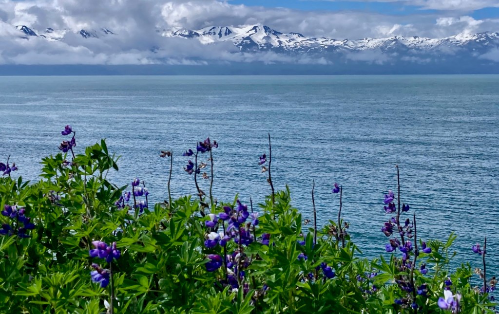
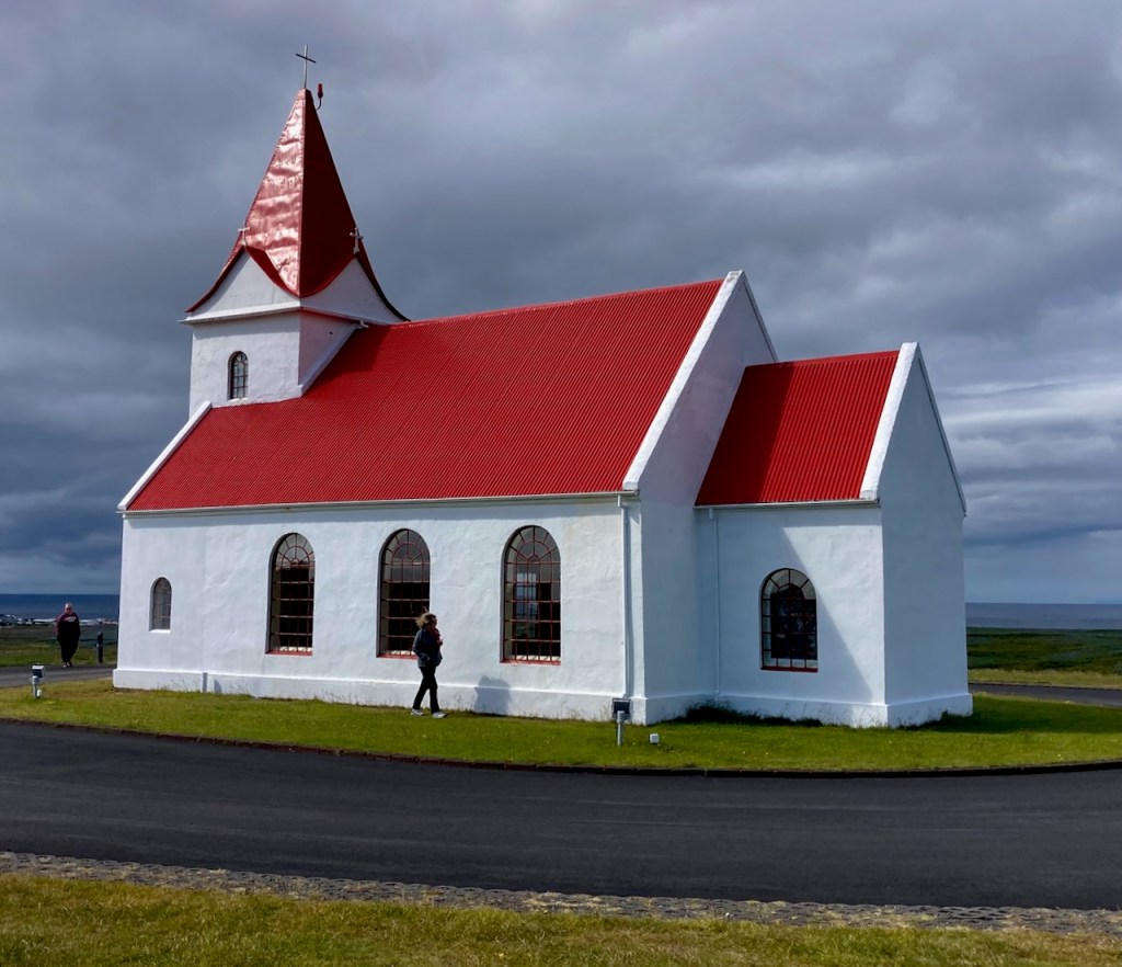
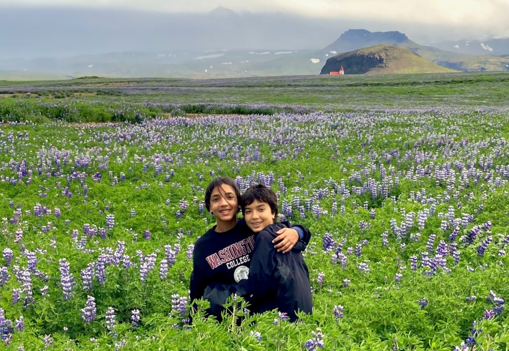
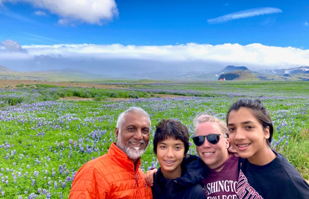
From Saxhóll we double back past Hellissandur to Ingjaldshóll to a beautiful church at the end of a gravel road. The informational sign at the church says that there has been a church here since Christianity came to Iceland around the 10th century. The new building is over a hundred years old and is one of the first concrete churches in the world. A southern gentleman stayed a winter in Iceland in 1477 and visited this church. It was supposedly Christopher Columbus who was in Iceland to chat with the locals. They had been wandering off to Greenland and North America since Leif the Lucky arrived in Newfoundland in 990 CE, almost five hundred years before Columbus. There is a modern mural of the said southern gentleman, but the church was closed and we couldn’t see it. We drove back halfway down the gravel road and turned around for photos. Iceland is covered in a flowering blue lupine, Lupinus nootkatensis, not to be confused with Lupinus texensis, the Texas bluebonnet. Evan believes the Icelandic bluebonnets are superior and more plentiful. He thinks Texas should give up. “They should make dirt their state flower”. He has a point. There is a lot of L. nootkatensis around Iceland.
We wallowed in the bluebonnets for a long time. Alu and Michelle watched with amusement. When we are finally done we started our return trip home. Along the way we saw glorious rainbows and a cloudy Kirkjufell, or “church mountain”, perhaps the most Instagrammed mound in all of Iceland (some say it may have even made an appearance in Game of Thrones). The rain had started again and we took a quick photo from the parking lot without getting out of the car.
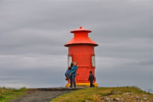
We drove to the northern town of Stykkishólmur for dinner. Alu and I crossed the very picturesque harbor and walked up to the top of Súgandisey Island to see the red milk-can lighthouse. Last time around I took one of my favorite photos in front of the same lighthouse – Jo holding Vivian upside-down with little Evan watching.
Tomorrow we return to Stykkishólmur in the morning to catch a ferry!
I love the name. Snæfellsnes is among the simpler names in Icelandic geography. Last time eight years ago, Jo and I nicknamed this area “Snefellopholous” for unknown reasons. The peninsula is a 90 km long protrusion of volcanic land (of course) off the central coast of western Iceland and is often described as the best of Iceland in miniature. The western end of the peninsula is home to the famous Snæfellsjökull volcano and glacier. It last erupted 1750 years ago, though an official sounding Icelandic volcano website say that there may have been “fresh lava flows more recently”. While Snæfellsjökull is well known in Iceland, both geographically and historically, I became aware of its existence when I read Jules Verne’s book which was required reading when I was about Evan’s age. The characters start their journey to the center of the earth by rappelling down its crater. Unfortunately Jules Verne hadn’t visited Iceland and didn’t know that the top of the volcano is a jökull – a glacier covered in two or three hundred meters of solid ice. Or perhaps the very smart Verne accounted for climate change, but just a bit too soon. It is estimated that this mighty glacier will cease to exist before Vivian’s generation does.
Today Jo has planned an easy day, in and back out along the southern coast of Snæfellsnes as far as we want to go. We’ll be here for two days.
After a nice breakfast at the B59 hotel in Borgarnes, I strolled down to the local Netto grocery store across the street and discover dry sausage snacks to replenish the several pounds of the finger sized Costco salami that the kids consumed yesterday. Then we refilled gas, marked in Iceland at the pump as “bensin”. We paid over $11/gallon but we are paying per liter in ISK. Unless you do some quick math in your head, you don’t know enough to cringe. As we are about to leave Jo and I proceeded to have a volcanic sized disagreement about the location of the local farmer’s market.
Jo wants to drop in on the local farmers market. It is a women’s group that makes and sells high quality local handmade sheep wool products and jams and fresh foods. The description sounds inviting and I love a good farmer’s market. I’m looking for tents in a parking lot. The directions and pictures point to the building that houses the Netto grocery store. Perhaps it used to be there and has moved or closed or is seasonal. So Alu and I drive our cars around a quarter mile patch fruitlessly while Jo and Michelle exchange directions and text messages and then I make an executive decision to skip it and move on. Just as I am leaving the parking lot I see a store out of the corner of my eye. It’s in a strip mall in the next building past the Netto and says “FARMER’S MARKET”. But by then Jo is pissed and I’m defensive and I drive on. For posterity, here’s the location on google maps and a picture of the store from the parking lot (thank you, internet). My dearest, if we return to Borgarnes we will stop here. I’m sorry.
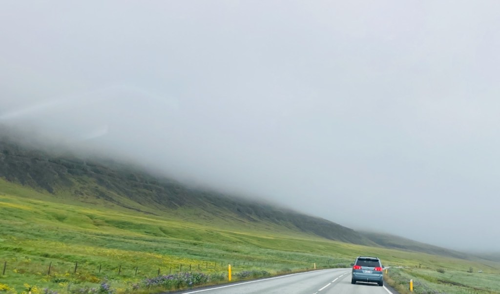
We are in Snæfellsnes after driving in icy silence for half an hour. Here’s what it looks like – a two lane road without shoulders snaking its way over narrow coastal flats covered in the greenest imaginable grass and moss. Mountains rise up on the other side, often shrouded in clouds that seem to be gently pouring down. When the clouds lift you catch glimpses of impossibly high snowy mountain tops or perhaps they are just more clouds. After the golden circle, this part of Iceland is the most touristy but the traffic is light and you can go for a while without seeing another car. We encounter few sheep in groups of three, the mother ewe with an enormously engorged udder and two absolutely cute kids. The sheep loiter and run off the road with the cutest butt-up-in-the-air gallop as cars approach. The edge of the roadway is marked by ubiquitous yellow stakes every 50 meters or so. This isn’t a country of guard rails and you often round a bend at the edge of a cliff looking down hundreds of feet to waves crashing on lava rocks, imagining your dreadful demise in this paradise of stunning views, and then a short yellow plastic stake pulls you back to safety. We stop to walk to a rocky beach to see seals. There is a QR code attached to a fence post and a request to pay for parking. The stiff breeze from yesterday has died down and it is shaping up to be a glorious day. We chill and walk around on the beach, watch the seal pups, take photos, relax. Thanks, Alu, for many of these photos.
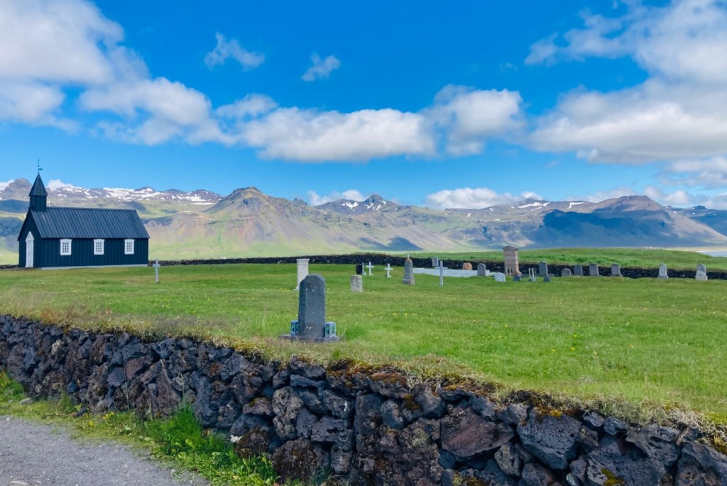
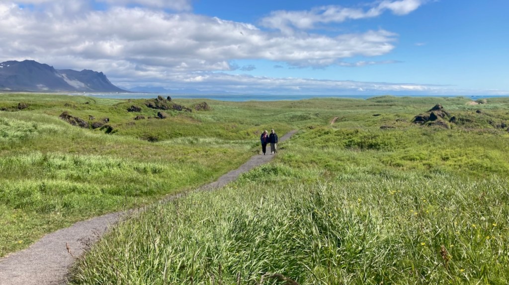
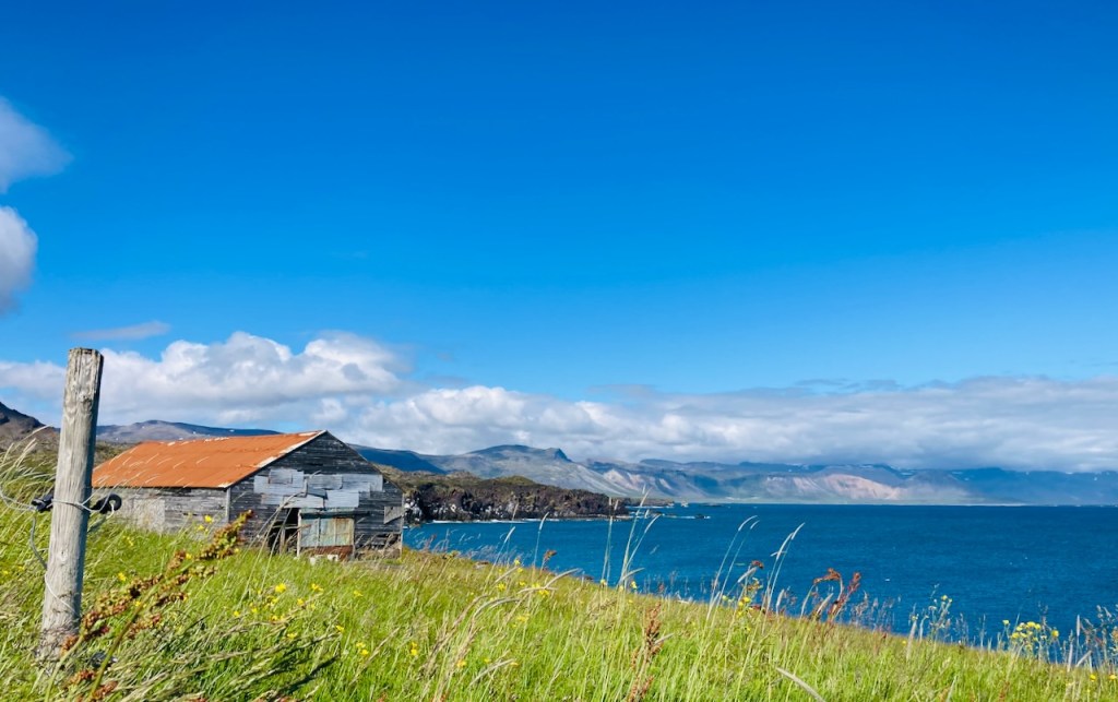
Our next stop is a few miles westward to the famous “black church” of Búðir. An informational sign announces that “…a quote on a door ring says that this church was built in 1848 without the support of the spiritual fathers“. Initially built in 1703, the parish was abolished in 1816, but a local wealthy woman eventually got royal permission to rebuild the original rotting building in 1848. The current building was reconstructed and consecrated in 1987. The bell is still the original and was cast in 1672. The church and the attached cemetery are serene. We walk to the beach over rolling fields of grass and outcroppings of lava rock. A few minutes away is a nice old hotel where we stop for hot chocolate and the best fish soup I’ve tasted. I ask for the recipe. I’m told they simmer the broth for 48 hours, smoke the fish, and at the table the waiter pours the piping hot soup into a bowl with Icelandic buttermilk froth, butter, and fresh local herbs at the bottom.
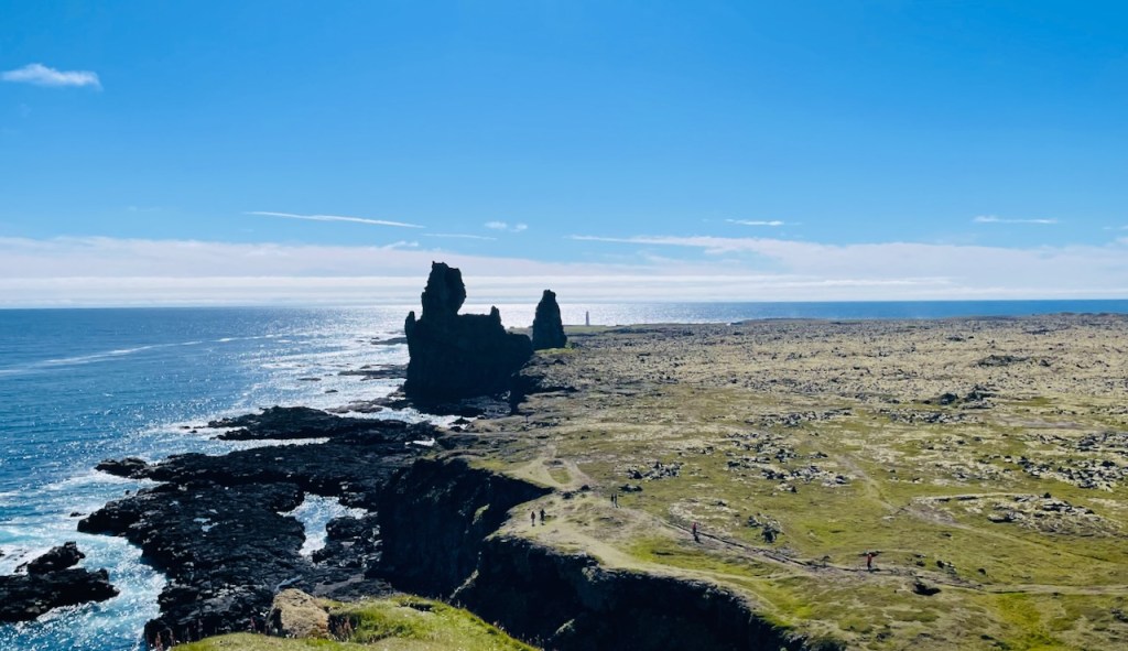
A handful of miles farther down the coast we stop to admire the black lava cliffs and formations at Arnarstapi, Hellnar, and Lóndrangar. Vivian and Evan take off down a steep slope towards the towering lava columns at Lóndrangar. Jo and I have noticed something different here. Back in Austin, Vivian and Evan inhabit the same house. They lead separate lives, go to different schools, have non-overlapping groups of friends for the most part, and do different things with their free time. When they do interact, it is mostly though jokes and friendly barbs. Here in Iceland, they link arms and run off to explore together, laughing and chasing and jousting with each other.
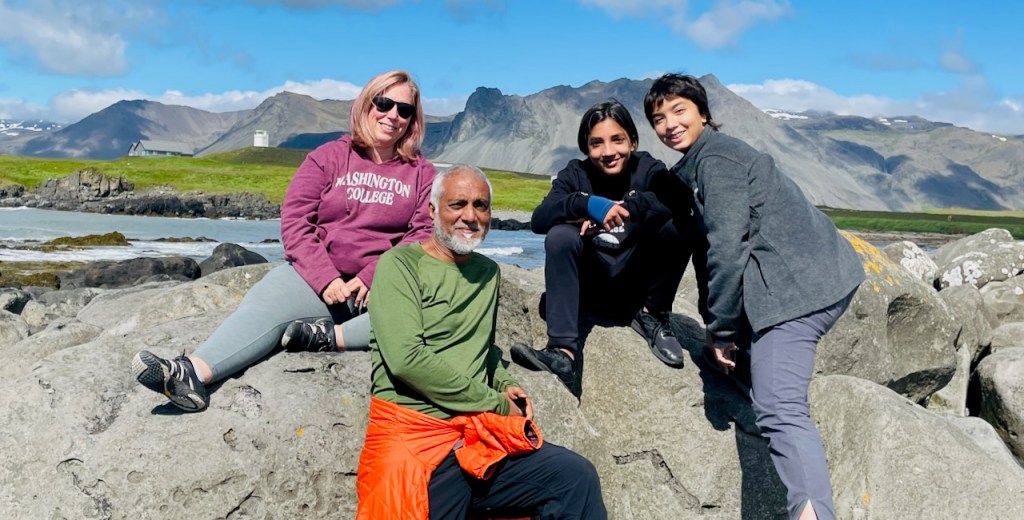
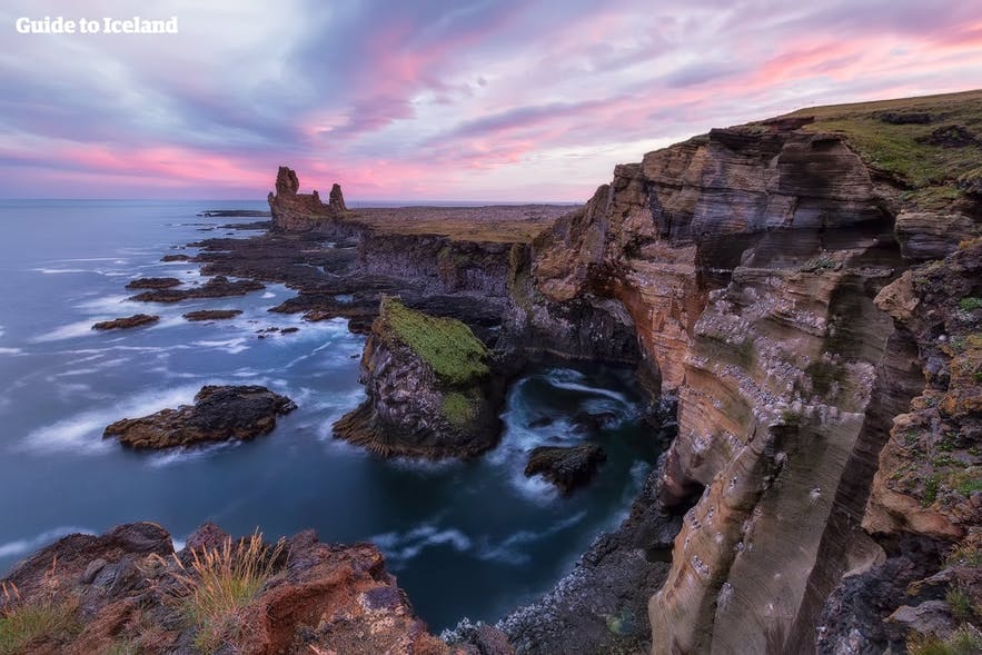
Above are two photos of the same spot. Alu took the one top on his iPhone. You can see a path towards the bottom right. Somewhere along that path is me. A bit further up are Vivian and Evan. We are in a flattish lava field covered in moss, heather and grass. In front of us are the towering columns of ancient lava tubes. And in the distance, just before the sea is the needle-like Malarrif lighthouse marking the southwestern edge of Snæfellsnes. Vivian, Evan and I walk to the lighthouse, and Michelle and Alu and Jo drive there to meet us. Along the way we find a beautiful black bounder beach and a short zip line that everyone rides twice. Vivian and Evan alternately race and pummel each other into the velvety moss while laughing over some joke that they share. The next photo is a lovely picture that you will see on a tour website or someone’s curated insta story. The lighting in perfect. The sky is amazing. The photographer has selected and framed the scenery beautifully. Here’s the funny thing – it looks better that even this photo when you are here on an ordinary day.
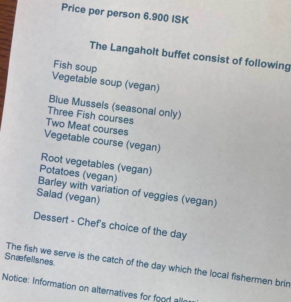
We stop at the Langaholt guest house where Alu, Michell and I enjoy a nice cold beer (from the car – no cooler or ice required) and sweeping views of the coast. We sit down for a great dinner (thanks, Alu), and drive to our lovely modern cabin in the Miðhraun (“middle of lava” in English) Lava Resort (it’s a bit like chai tea for those who know :- ). End of Day Two. I’m loving traveling. I’m loving Iceland.